Ulica Obrońców Westerplatte w Katowicach
ulica w Katowicach Z Wikipedii, wolnej encyklopedii
ulica w Katowicach Z Wikipedii, wolnej encyklopedii
Ulica Obrońców Westerplatte w Katowicach – ulica we wschodniej części Katowic, łącząca dzielnicę Szopienice-Burowiec z Zawodziem. Jest to główna droga w Roździeniu (część Szopienic)[2], przy której zlokalizowane są liczne przedsiębiorstwa[3], a także zabytkowe i historyczne kamienice oraz inne budynki[4].
| Szopienice-Burowiec, Zawodzie | |||||||||||||||||||||||||||||||||||||||||||||||||||||||||||||||||||||||||||||||||||||||||||||||||||||||||||||||||||||||||||||||
 Początek ulicy na wysokości pl. Powstańców Śląskich | |||||||||||||||||||||||||||||||||||||||||||||||||||||||||||||||||||||||||||||||||||||||||||||||||||||||||||||||||||||||||||||||
| Państwo | |||||||||||||||||||||||||||||||||||||||||||||||||||||||||||||||||||||||||||||||||||||||||||||||||||||||||||||||||||||||||||||||
|---|---|---|---|---|---|---|---|---|---|---|---|---|---|---|---|---|---|---|---|---|---|---|---|---|---|---|---|---|---|---|---|---|---|---|---|---|---|---|---|---|---|---|---|---|---|---|---|---|---|---|---|---|---|---|---|---|---|---|---|---|---|---|---|---|---|---|---|---|---|---|---|---|---|---|---|---|---|---|---|---|---|---|---|---|---|---|---|---|---|---|---|---|---|---|---|---|---|---|---|---|---|---|---|---|---|---|---|---|---|---|---|---|---|---|---|---|---|---|---|---|---|---|---|---|---|---|---|
| Województwo | |||||||||||||||||||||||||||||||||||||||||||||||||||||||||||||||||||||||||||||||||||||||||||||||||||||||||||||||||||||||||||||||
| Miejscowość | |||||||||||||||||||||||||||||||||||||||||||||||||||||||||||||||||||||||||||||||||||||||||||||||||||||||||||||||||||||||||||||||
| Długość |
2714 m[1] | ||||||||||||||||||||||||||||||||||||||||||||||||||||||||||||||||||||||||||||||||||||||||||||||||||||||||||||||||||||||||||||||
| Przebieg | |||||||||||||||||||||||||||||||||||||||||||||||||||||||||||||||||||||||||||||||||||||||||||||||||||||||||||||||||||||||||||||||
| |||||||||||||||||||||||||||||||||||||||||||||||||||||||||||||||||||||||||||||||||||||||||||||||||||||||||||||||||||||||||||||||
Położenie na mapie Katowic 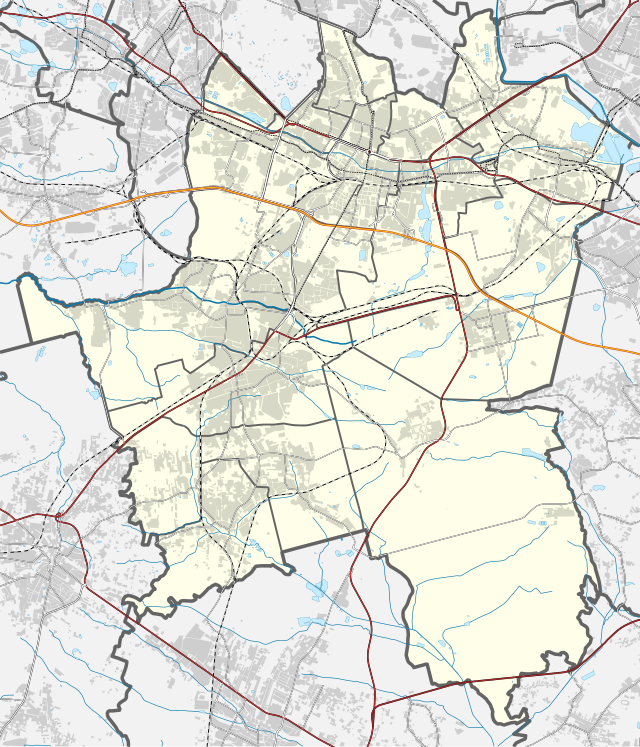 | |||||||||||||||||||||||||||||||||||||||||||||||||||||||||||||||||||||||||||||||||||||||||||||||||||||||||||||||||||||||||||||||
Położenie na mapie Polski  | |||||||||||||||||||||||||||||||||||||||||||||||||||||||||||||||||||||||||||||||||||||||||||||||||||||||||||||||||||||||||||||||
Położenie na mapie województwa śląskiego  | |||||||||||||||||||||||||||||||||||||||||||||||||||||||||||||||||||||||||||||||||||||||||||||||||||||||||||||||||||||||||||||||
Ulica rozpoczyna swój bieg od skrzyżowania z ulicami: ks. bpa. Herberta Bednorza, Wiosny Ludów (dawniej 3 Maja) i Lwowską przy placu Powstańców Śląskich w Szopienicach. Dalej biegnie obok zabudowań starego browaru, krzyżuje się z ul. H. Bednorza i ul. Morawa. Następnie ulica prowadzi przez Burowiec (skrzyżowanie z ul. Janusza Korczaka, ul. gen. Józefa Hallera, skwer im. Hilarego Krzysztofiaka), gdzie znajdują się budynki HMN Szopienice i spółki Baterpol. Za oczyszczalnią i skrzyżowaniem z ul. Roździeńską kończy swój bieg przy ul. 1 Maja i węźle z ul. Bagienną (DK79) w jednostce pomocniczej Zawodzie[3].

Do 1830 roku przy tej ulicy była czynna kuźnica roździeńska (zakole Rawy i drogi z Mysłowic do Dąbrówki Małej)[5]. Następnie w jej pobliżu mieścił się szpital hutniczy (w drugiej połowie XIX wieku)[6]. W pierwszej połowie XIX wieku w Roździeniu powstała huta żelaza Dietrich (w miejscu dawnej Kuźnicy Roździeńskiej, w rejonie obecnego skrzyżowania ul. Obrońców Westerplatte, ul. Bednarskiej i ul. Morawa)[7].
Ulica jest drogą główną klasy G[8]. Przy ulicy znajduje się pamiątkowa tablica, poświęcona Walentemu Roździeńskiemu[9]. W 1897 roku obok kolonii Bagno, pomiędzy dzisiejszą ul. Krakowską, ul. Roździeńską i ul. Obrońców Westerplatte, wybudowano hutę „Bernhardi”[10]. W okresie Rzeszy Niemieckiej (do 1922 roku) ulica nosiła nazwy: Chaussee Straße (część wschodnia − dawne śródmieście Roździenia) i Hüttenstraße (część zachodnia − w stronę Burowca)[11], a w latach niemieckiej okupacji Polski (1939−1945) Adolf-Hitler-Straße. Do 1962 nosiła nazwę ul. Oświęcimska[12].
W latach 1995–2017 przy ul. Obrońców Westerplatte 30 znajdowała się siedziba redakcji miesięcznika „Roździeń”. Uchwałą z 24 października 2019 roku Rada Miasta Katowice placowi położonemu w rejonie ul. Obrońców Westerplatte 13, 15 nadała nazwę Skwer Ernesta Prittwitza[13].


Przy ulicy zlokalizowane są następujące historyczne obiekty[4]:

Przy ul. Obrońców Westerplatte znajdują się m.in. (stan na 2020 rok): MDK „Szopienice-Giszowiec”, Miejska Biblioteka Publiczna w Katowicach (filia nr 19), Urząd Pocztowy Katowice 14, Katowickie Wodociągi, Baterpol, księgarnia, Alfa-Elektro, Zakład Szkolenia Psów oraz siedziba fundacji PRO-EKO Szopienice[20]. Między ul. Obrońców Westerplatte a ul. ks. bp. Herberta Bednorza usytuowany jest kościół ewangelicki pw. Zbawiciela[21].
Ulicą Obrońców Westerplatte kursują autobusy oraz tramwaje operujące na zlecenie Zarządu Transportu Metropolitalnego. Wzdłuż ulicy zlokalizowanych jest pięć przystanków: Szopienice Kościół (stanowisko tramwajowe w kierunku Mysłowic/Sosnowca), Szopienice Poczta, Burowiec, Szopienice Wodociągi i Szopienice Roździeńska[22]. Tramwaje wzdłuż ulicy zaczęły kursować w 1900 roku[23].
Seamless Wikipedia browsing. On steroids.
Every time you click a link to Wikipedia, Wiktionary or Wikiquote in your browser's search results, it will show the modern Wikiwand interface.
Wikiwand extension is a five stars, simple, with minimum permission required to keep your browsing private, safe and transparent.
