Nogat (jezioro)
Z Wikipedii, wolnej encyklopedii
Z Wikipedii, wolnej encyklopedii
Nogat – jezioro rynnowe[2] w Polsce, położone w województwie kujawsko-pomorskim, w powiecie grudziądzkim, w gminie Łasin, na Pojezierzu Łasińskim[3], nieopodal wsi Nogat.
 | |
| Położenie | |
| Państwo | |
|---|---|
| Województwo | |
| Miejscowości nadbrzeżne | |
| Region | |
| Morfometria | |
| Powierzchnia |
1,17 km² |
| Głębokość • maksymalna |
|
| Hydrologia | |
| Klasa czystości wody |
III[1] |
| Rzeki zasilające | |
| Rzeki wypływające | |
| Rodzaj jeziora | |
Położenie na mapie gminy Łasin 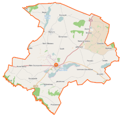 | |
Położenie na mapie Polski 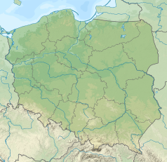 | |
Położenie na mapie województwa kujawsko-pomorskiego  | |
Położenie na mapie powiatu grudziądzkiego  | |
Przez Nogat przepływa rzeka Gardęga, która połączona jest ze znajdującym się o około 2 km na zachód jeziorem Kuchnia[2].
Jezioro jest długie na około 7 km, szerokie na 500 m, a głębokość maksymalna wynosi 27 m[2]. Ogólna powierzchnia Nogatu wynosi 117,7 ha[4]. Jezioro posiada III klasę czystości wód[1].
Seamless Wikipedia browsing. On steroids.
Every time you click a link to Wikipedia, Wiktionary or Wikiquote in your browser's search results, it will show the modern Wikiwand interface.
Wikiwand extension is a five stars, simple, with minimum permission required to keep your browsing private, safe and transparent.
