Top Qs
Timeline
Chat
Perspective
Districts of Pakistan
Third-level administrative units of Pakistan From Wikipedia, the free encyclopedia
Remove ads
The districts of Pakistan (Urdu: اِضلاعِ پاكِستان) are the third-level administrative divisions of Pakistan, below provinces and divisions, but forming the first-tier of local government. In total, there are 169 districts in Pakistan, including 10 districts in Azad Kashmir and 14 districts in Gilgit-Baltistan.[2][3], excluding Islamabad Capital Territory. These districts are further divided into tehsils and union councils.
Remove ads
Remove ads
History
Summarize
Perspective
In 1947, when Pakistan gained independence there were 124 districts. In 1969, 2 new districts (Tangail and Patuakhali) in East Pakistan were formed, bringing the total to 126. With the Independence of Bangladesh, Pakistan lost 20 of its districts and so there were 106 districts. In 2001, the number was reduced to 102 by the merger of the 5 districts of Karachi Central, Karachi East, Karachi South, Karachi West and Malir to form Karachi District. The number of districts rose to 106 again in December 2004, when four new districts were created in the province of Sindh of which one (Umerkot) had existed until 2000 and three districts (Kashmore, Qambar and Jamshoro) were newly created.[4][a] The new districts were carved out of Mirpur Khas, Jacobabad, Larkana and Dadu Districts respectively. In May 2005, the Punjab provincial government created a new district by raising the status of Nankana Sahib from a tehsil of Sheikhupura District to a district in its own right.[5][b] On 11 July 2011, the Sindh Government restored again the districts of Karachi South, Karachi East, Malir, Karachi West and Karachi Central, then later in 2013, the district of Korangi was carved out of Karachi East District. In Azad Jammu and Kashmir, a second-tier of government was formed from three administrative divisions into ten districts. In Gilgit–Baltistan, there are ten districts divided between the two regions of Gilgit and Baltistan. In 2018, Federally Administered Tribal Areas (FATA) was merged with Khyber Pakhtunkhwa province and FATA agencies were converted into districts.
Chagai is the largest district of Pakistan by area while Lahore District is the largest by population with a total population of 11,126,285 at the 2017 census. Quetta is the largest district of Balochistan by population with a total population of 2,275,699 at the 2017 census. Bahawalpur is the largest district of Punjab by area. Chitral is the largest by area and Peshawar is the largest by population from Khyber Pakhtunkhwa with the population of 4,269,079 at the Census 2017. Sindh's largest district by area is Tharparkar[6] and by population its Karachi West with a population of 3,914,757 at the 2017 Census. The combined population of the six districts of Karachi division is over 16 million at the 2017 census, giving an average population for these six districts of Karachi division of over 2.675 million each. Neelum and Kotli are the largest districts of Azad Kashmir by area and population respectively. Gilgit is the largest by area and population both for Gilgit-Baltistan.
Remove ads
Administration
Deputy commissioner
A deputy commissioner (popularly abbreviated to "DC") is the executive head of the district. Deputy commissioners are appointed by the government from the Pakistan Administrative Service.
District council
A district council (or zila council) is a local government body at the district level.
The functions of a district council include construction and maintenance of roads, and bridges, building hospitals and dispensaries, schools and educational institutions, health facilities and sanitation, tube wells for drinking water, rest houses, and coordination of activities of the Union councils within the district.
Remove ads
Provinces and territories

List of districts by province and territory
Summarize
Perspective
Azad Jammu and Kashmir
Gilgit-Baltistan


The figures for area and population are as per the Government of Gilgit Baltistan.[14] In brackets are the figures given by the UNOSAT. Note that UNOSAT gives the total area of Gilgit Baltistan as 70,226 km2 (27,114 sq mi), as opposed to the official figures of 72,496 km2 (27,991 sq mi).[15]
Balochistan

Former district
- Lehri District abolished in 2018.
- Karezat-Barshore District created on 21 November 2022,on 22 November Barshore tehsil minus from karezat-barshore District and barshore tehsil merge again in Pishin district Later on 29 November 2022 Balochistan Government Abolished Karezat District.
Khyber Pakhtunkhwa

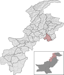
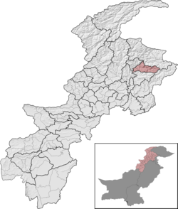
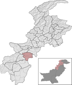
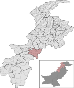
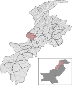
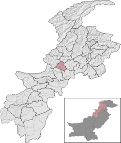
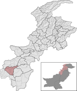
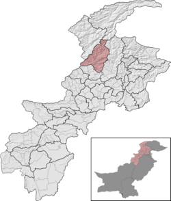
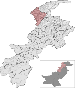
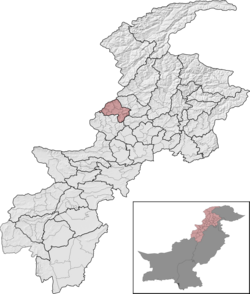
Below you will find a list of all 38 districts in the province of Khyber Pakhtunkhwa, along with the division it belongs to, the area of the district, the population and population density of the district, the average annual population growth rate of each district (between 1998 and 2017), and a map showing its location. The districts are initially listed in alphabetical order, but they can be sorted in different ways by clicking the headers of the table.
Punjab

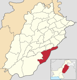
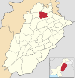
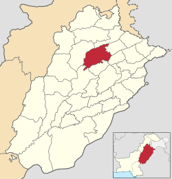
Below you will find a list of all 41 districts in the province of Punjab, along with the division it belongs to, the area of the district, the population and population density of the district, the average annual population growth rate of each district (between 1998 and 2017), and a map showing its location. The districts are initially listed in alphabetical order, but they can be sorted in different ways by clicking the headers of the table.
Sindh

N.B. All the figures require to be re-checked. Data entry error has occurred in Sindh Province.
Remove ads
List of all districts by area, population, density, literacy rate etc
Summarize
Perspective
Remove ads
List of all districts by population over the years
Summarize
Perspective
Remove ads
See also
Remove ads
Notes
References
Further reading
External links
Wikiwand - on
Seamless Wikipedia browsing. On steroids.
Remove ads


