Top Qs
Timeline
Chat
Perspective
National Highway 5 (India)
National highway in North India From Wikipedia, the free encyclopedia
Remove ads
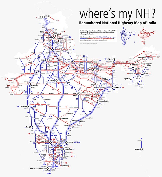
National Highway 5 (NH5) is a primary national highway in India, running from West to East, connecting Firozpur in Punjab to the Sino-Indian border at Shipki La. The highway passes through Moga, Jagraon, Ludhiana, Mohali, Chandigarh, Panchkula, Kalka, Solan, Shimla, Theog, Narkanda, Kumarsain, Rampur Bushahr and continues along the Sutlej River till its terminus near the Tibet border.[1]
Remove ads
Remove ads
Route

NH5 traverses the states of Punjab, Haryana, Himachal Pradesh and union territory of Chandigarh in India.[2][3]
Punjab
Firozpur, Moga, Jagraon, Ludhiana, Kharar, Morinda, Mohali - Chandigarh border
Chandigarh
Punjab
Zirakpur - Haryana border
Haryana
Punjab border - Panchkula, Surajpur, Pinjore, Kalka bypass - H.P. border
Himachal Pradesh
Haryana border - Parwanoo, Solan, Shimla, Theog, Narkanda, Kumarsain, Rampur Bushahr, Chini, Shipki La at Sino-Indian border
This section contains the Himalayan Expressway, which was damaged by floods and landslides in 2023. Geologists argue that highway construction had destabilized the slopes and left the area vulnerable to landslides.[4]
Remove ads
Junctions
This article contains a bulleted list or table of intersections which should be presented in a properly formatted junction table. (November 2021) |
 NH 354 near Firozpur.
 NH 354B near Firozpur
 NH 54 near Talwandi Bhai
 NH 105B near Moga
 NH 703 near Moga
 NH 44 near Doraha
 NH 205 near Kharar
 NH 205A near Kharar
 NH 152 near Zirakpur
 NH 7 near Zirakpur
 NH 105 near Pinjore
 NH 907A near Kumarhatti
 NH 205 near Shimla
 NH 705 near Theog
 NH 305 near Sainj
 NH 505A near Powari
 NH 505 near Khab.
Remove ads
See also
References
External links
Wikiwand - on
Seamless Wikipedia browsing. On steroids.
Remove ads


