Golden Quadrilateral
National highway network in India connecting four megacities From Wikipedia, the free encyclopedia
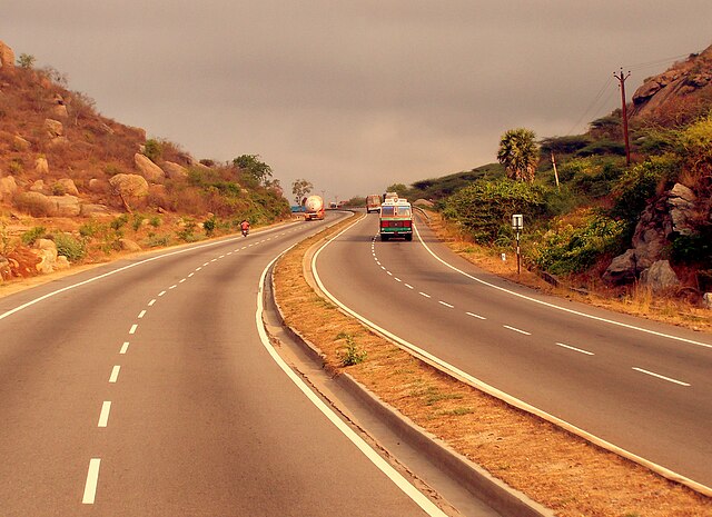
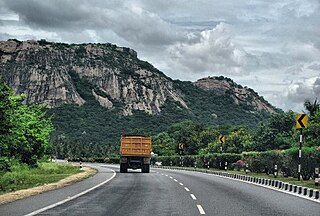
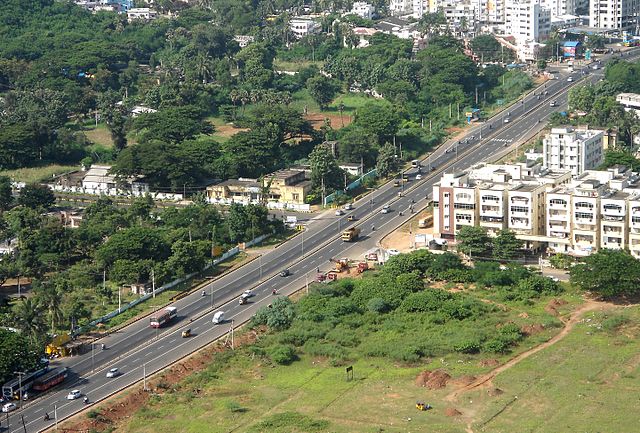
The Golden Quadrilateral (Hindi: Svarnim Chaturbhuj; abbreviated GQ) is a network of national highways connecting major cities of India. It roughly forms a quadrilateral with major cities – Delhi (north), Kolkata (east), Mumbai (west) and Chennai (south) forming the termini. Stretching 5,846 km (3,633 mi), it is one of the longest roads in the world.[1]
| Golden Quadrilateral | |
|---|---|
 Highway map of India with the Golden Quadrilateral highlighted | |
| Route information | |
| Maintained by NHAI | |
| Length | 5,846 km (3,633 mi) |
| Existed | 2001–present |
| NH-16 | |
| Length | 1,684 km (1,046 mi) |
| From | Chennai |
| To | Kolkata |
| NH-19 and NH-44 | |
| Length | 1,453 km (903 mi) |
| From | Kolkata |
| To | Delhi |
| NH-48 | |
| Length | 1,419 km (882 mi) |
| From | Delhi |
| To | Mumbai |
| NH-48 | |
| Length | 1,290 km (800 mi) |
| From | Mumbai |
| To | Chennai |
| Location | |
| Country | India |
| Highway system | |
The project was part of the first phase of the National Highways Development Project executed by the Government of India. The roads were constructed and are maintained by the National Highway Authority of India under the purview of the Ministry of Road Transport and Highways. The road system consists of access controlled four or six-lane highways, built at a cost of ₹324.9 billion (equivalent to ₹1.4 trillion or US$16 billion in 2023). The project was launched in 1999, and completed in 2012.
Background and planning
In 1998, the Government of India launched the National Highways Development Project (NHDP). The project envisaged the development of about 13,150 km (8,170 mi) of four and six lane highways at an estimated cost of ₹540 billion (equivalent to ₹2.3 trillion or US$27 billion in 2023).[2][3][4] The Golden Quadrilateral project was part of the first phase of NHDP, and involved the construction of 5,846 km (3,633 mi) of multi-lane highways connecting the major cities.[5][6] It was intended to establish better and faster transport networks between major cities, thereby reducing accidents and costs,[3] and drive economical growth by providing better access to markets.[6][7][8]
Construction
Summarize
Perspective
National Highways Authority of India (NHAI) was tasked with the implementation of the project.[8] The foundation stone for the project was laid on 6 January 1999 by then prime minister Atal Bihari Vajpayee.[9] As per the original plan, majority of the project was intended to be completed by December 2004.[5] However, as of July 2005, four laning of only 4,944 km (3,072 mi) was complete, and the project timeline was revised to be completed by December 2006.[10]
The project faced further delays due to land acquisition issues, disputes with contractors, and renegotiation of contracts.[8][10][11] A NHAI engineer Satyendra Dubey wrote letter to the prime minister highlighting that the large contractors were being given inside information by NHAI officials, and the contractors were subcontracting the work to smaller companies which lacked technical expertise.[12] While Dubey was transferred and was later murdered for voicing out his concerns, NHAI implemented reforms in contract procedures due to the allegations.[13][14]
In September 2009, the government announced plans to convert the existing four-lane highways into six-lane highways in the future.[15] As per an update given to the Parliament of India, about 99.7% of the project was complete by 2009.[16] In January 2012, the government announced that the entire project has been completed.[17][18] The final cost of the project was estimated at ₹324.92 billion (equivalent to ₹1.4 trillion or US$16 billion in 2023).[8]
Network
Summarize
Perspective
The Golden Quadrilateral consists 5,846 km (3,633 mi) of multi-lane highways roughly forming a quadrilateral connecting four major cities – Delhi (north), Kolkata (east), Mumbai (west) and Chennai (south).[5][6][17]


| Segment | Length[19] | National Highway[20][21] | States/UTs[20] |
|---|---|---|---|
| Delhi–Mumbai | 1,419 km (882 mi) | NH-48 |
|
| Mumbai–Chennai | 1,290 km (800 mi) | NH-48 |
|
| Kolkata–Chennai | 1,684 km (1,046 mi) | NH-16 |
|
| Delhi–Kolkata | 1,453 km (903 mi) | NH-19 and NH-44 |
|
| 5,846 km (3,633 mi) |
Major towns


See also
References
External links
Wikiwand - on
Seamless Wikipedia browsing. On steroids.
