File:European_Russia_laea_relief_location_map.jpg
From Wikipedia, the free encyclopedia
Size of this preview: 454 × 599 pixels. Other resolutions: 182 × 240 pixels | 364 × 480 pixels | 582 × 768 pixels | 1,181 × 1,558 pixels.
Original file (1,181 × 1,558 pixels, file size: 1.64 MB, MIME type: image/jpeg)
| This is a file from the Wikimedia Commons. Information from its description page there is shown below. Commons is a freely licensed media file repository. You can help. |
Summary
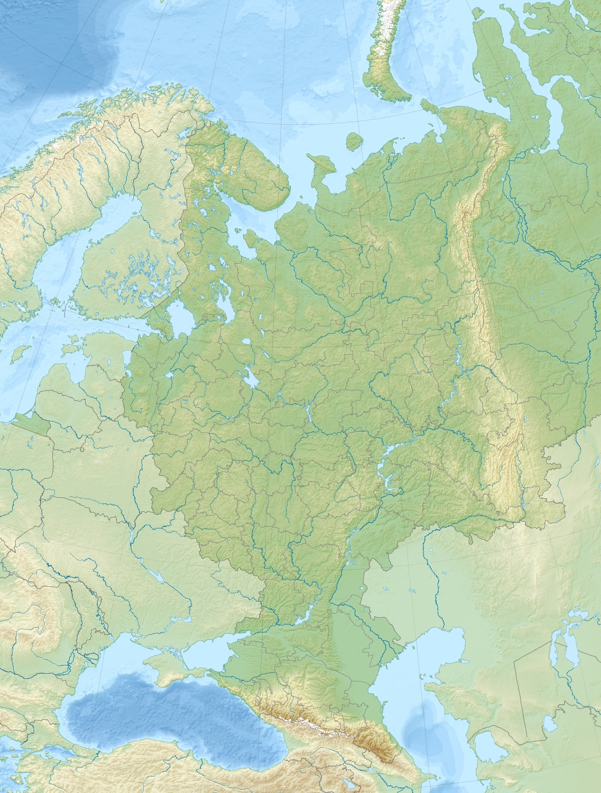
| DescriptionEuropean Russia laea relief location map.jpg |
English:
Relief location map of European_Russia.
|
| Date | |
| Source | Own work |
| Author | Uwe Dedering |
| Other versions |
|
.jpg)
.jpg)
Licensing
I, the copyright holder of this work, hereby publish it under the following licenses:
This file is licensed under the Creative Commons Attribution-Share Alike 3.0 Unported license.
- You are free:
- to share – to copy, distribute and transmit the work
- to remix – to adapt the work
- Under the following conditions:
- attribution – You must give appropriate credit, provide a link to the license, and indicate if changes were made. You may do so in any reasonable manner, but not in any way that suggests the licensor endorses you or your use.
- share alike – If you remix, transform, or build upon the material, you must distribute your contributions under the same or compatible license as the original.

|
Permission is granted to copy, distribute and/or modify this document under the terms of the GNU Free Documentation License, Version 1.2 or any later version published by the Free Software Foundation; with no Invariant Sections, no Front-Cover Texts, and no Back-Cover Texts. A copy of the license is included in the section entitled GNU Free Documentation License.http://www.gnu.org/copyleft/fdl.htmlGFDLGNU Free Documentation Licensetruetrue |
You may select the license of your choice.
Captions
Add a one-line explanation of what this file represents
Items portrayed in this file
depicts
some value
7 December 2010
File history
Click on a date/time to view the file as it appeared at that time.
| Date/Time | Thumbnail | Dimensions | User | Comment | |
|---|---|---|---|---|---|
| current | 16:46, 17 August 2014 | | 1,181 × 1,558 (1.64 MB) | Denniss | Reverted to version as of 14:46, 17 August 2014 - upload controversial changes under a new name or this file will be locked. |
| 15:33, 17 August 2014 |  | 1,181 × 1,558 (1.67 MB) | Nicolay Sidorov | Let's think up how to show the territory disputable, and until then we will leave the card of state of the facts | |
| 14:46, 17 August 2014 |  | 1,181 × 1,558 (1.64 MB) | Denniss | Reverted to version as of 10:09, 8 December 2010 -Crimea is taken from Ukraine, at best it is to be shown as disputed | |
| 05:26, 16 August 2014 |  | 1,181 × 1,558 (1.67 MB) | Nicolay Sidorov | +Crimea | |
| 10:09, 8 December 2010 |  | 1,181 × 1,558 (1.64 MB) | Uwe Dedering | initial upload |
File usage
The following pages on the English Wikipedia use this file (pages on other projects are not listed):
Global file usage
The following other wikis use this file:
- Usage on als.wikipedia.org
- Usage on ar.wikipedia.org
- Usage on azb.wikipedia.org
- Usage on bar.wikipedia.org
- Usage on be.wikipedia.org
- Ака
- Сярэднярускае ўзвышша
- Агульны Сырт
- Ловаць
- Стаўрапольскае ўзвышша
- Дзясна
- Окска-Данская раўніна
- Яніс’ёкі
- Кума
- Волхаў
- Таганрогскі заліў
- Вага (рака)
- Уфа (рака)
- Паўднёвы Урал
- Шаблон:На карце/Расія Еўрапейская частка
- Пячорская нізіна
- Кільмезь
- Міяс (рака)
- Варона (прыток Хапра)
- Вялікі Узень
- Няцёша
- Малы Узень
- Усмань (рака)
- Мста
- Таўда (рака)
- Піжма (прыток Вяткі)
- Мядзведзіца (прыток Дона)
- Ік (рака)
- Вазузскае вадасховішча
- Сок (рака)
- Паўлаўскае вадасховішча
- Луза (рака)
- Кобра (рака)
- Водлвозера
- Малка (прыток Церака)
- Урух (рака)
- Чапца
- Кунья (прыток Ловаці)
- Аргазінскае вадасховішча
- Карпаўскае вадасховішча
- Нарадная
- Катаў
- Егарлык
- Сумганская пячора
- Тамбоўская раўніна
View more global usage of this file.