
San Massimo (CB)
'nu comune tagliáne / From Wikipedia, the free encyclopedia
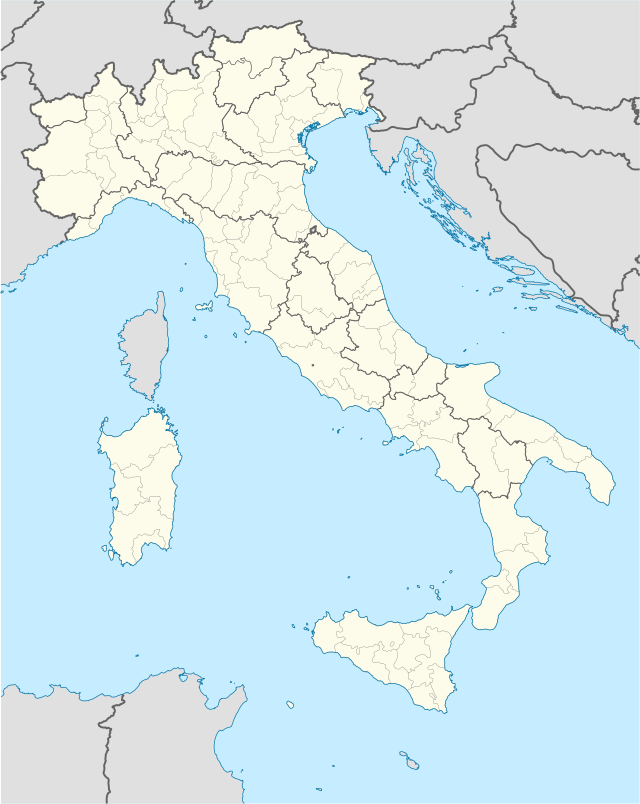
San Massimo éte 'nu comune tagliáne de 723 crestiáne.
|
|
Fatti in breve San Massimo comune tagliàne, State ...
| San Massimo comune tagliàne | ||
|---|---|---|
 | ||
| ||
| State | ||
| Reggione | ||
| Provinge | ||
| Coordinate | 41°29′00″N 14°25′00″E41°29′00″N, 14°25′00″E (San Massimo) | |
| Altitudine | 630 m s.l.m. | |
| Superficie | 27 km² | |
| Crestiàne | 723 | |
| Denzetà | 27 cr./km² | |
| Fraziune | Campitello Matese | |
| Comune 'nzeccate | Bojano, Cantalupo nel Sannio (IS), Macchiagodena (IS), Roccamandolfi (IS), San Gregorio Matese (CE) | |
| CAP | 86027 | |
| Prefisse | 0874 | |
| Codece ISTAT | 070070 | |
| Cod. catastale | I023 | |
| Nome javetande | sammassimesi | |
| Patrone | San Massimo | |
| Sciurne festive | 15 febbraio | |
 San Massimo | ||
| Site istituzionale | ||
-Stemma.png)
Chiudi