
Pratella
'nu comune tagliáne / From Wikipedia, the free encyclopedia
Pratella éte 'nu comune tagliáne de 1.695 crestiáne.
|
|
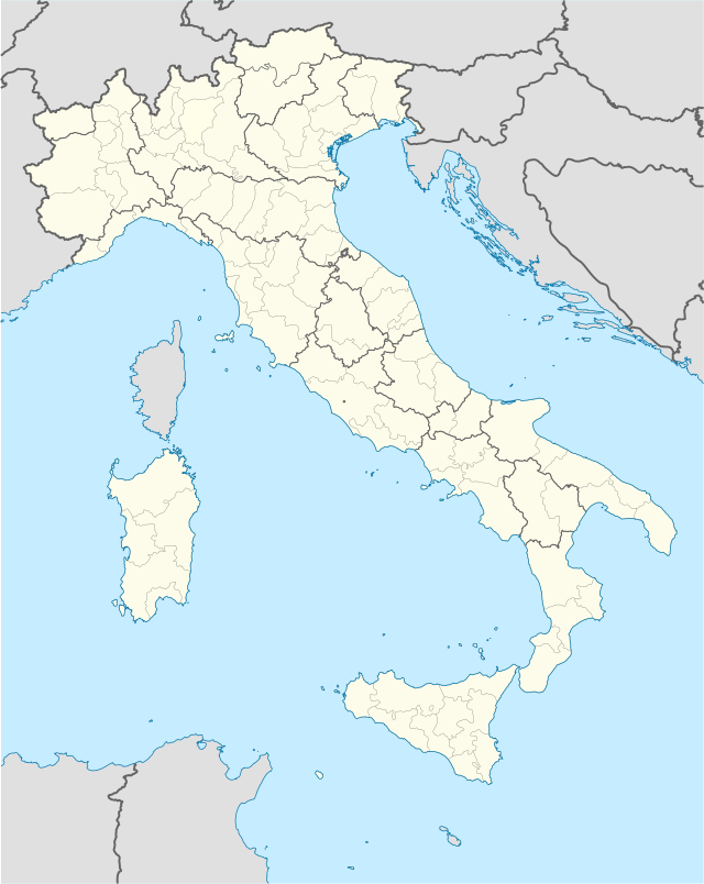
Fatti in breve Pratella comune tagliàne, State ...
| Pratella comune tagliàne | ||
|---|---|---|
_(cropped).jpg) | ||
| ||
| State | ||
| Reggione | ||
| Provinge | ||
| Coordinate | 41°24′00″N 14°11′00″E41°24′00″N, 14°11′00″E (Pratella) | |
| Altitudine | 152 m s.l.m. | |
| Superficie | 34 km² | |
| Crestiàne | 1 654 (1 giugno 2009 [1]) | |
| Denzetà | 50 cr./km² | |
| Fraziune | Mastrati, Roccavecchia | |
| Comune 'nzeccate | Ailano, Ciorlano, Prata Sannita, Presenzano, Sesto Campano (IS), Vairano Patenora | |
| CAP | 81010 | |
| Prefisse | 0823 | |
| Codece ISTAT | 061064 | |
| Cod. catastale | G995 | |
| Nome javetande | pratellesi | |
| Patrone | San Nicola | |
| Sciurne festive | 10 maggio | |
 Pratella | ||
| Site istituzionale | ||

Chiudi