Koło
stad in het hedendaagse Polen Van Wikipedia, de vrije encyclopedie
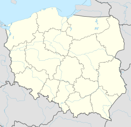
Koło (Duits 1939-1941: Wartbrücken, 1941-1945: Warthbrücken) is een stad in het Poolse woiwodschap Groot-Polen, gelegen in de powiat Kolski. De oppervlakte bedraagt 13,85 km², het inwonertal 23.334 (2005).
| Stad in Polen | |||
|---|---|---|---|
| Situering | |||
| Woiwodschap | Groot-Polen | ||
| District | Powiat Kolski | ||
| Gemeente | Koło | ||
| Coördinaten | 52° 12′ NB, 18° 39′ OL | ||
| Algemeen | |||
| Oppervlakte | 13,85 km² | ||
| Inwoners (2005) |
23.334 (1685 inw./km²) | ||
| Politiek | |||
| Burgemeester | {{{burgemeester}}} | ||
| Overig | |||
| Identificatiecode | 30090 | ||
| Website | Officiële website | ||
| Foto's | |||
 | |||
| kasteel | |||
| |||
Verkeer en vervoer
Geboren
- Chajm Engel (1916-2003), Overlevende van vernietigingskamp Sobibor
Mediabestanden die bij dit onderwerp horen, zijn te vinden op de pagina Koło op Wikimedia Commons.
Bronnen, noten en/of referenties
Wikiwand - on
Seamless Wikipedia browsing. On steroids.


