Loading AI tools
National highway in India From Wikipedia, the free encyclopedia
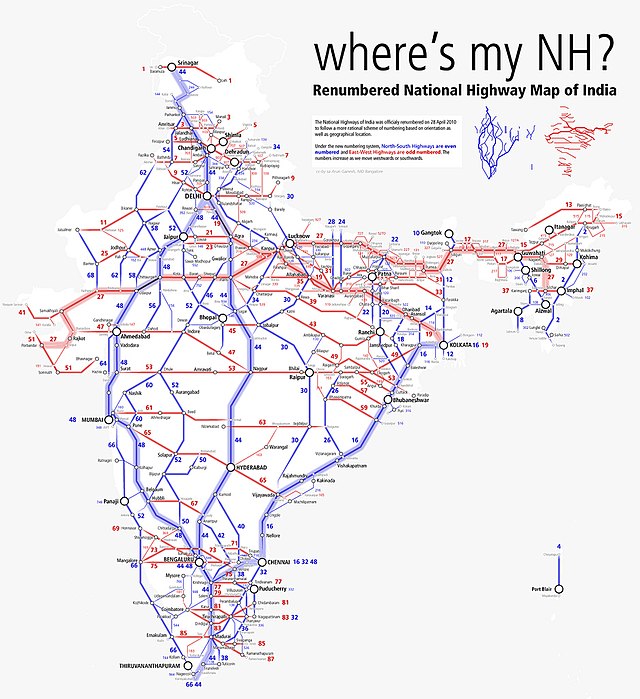
National Highway 83 (NH 83) is a primary national highway in India.[1] NH-83 runs in an east-west direction, entirely within the state of Tamil Nadu in India.[2] 4-laning of Pollachi to Dindigul stretch was approved in 2018.[3]
| National Highway 83 | ||||
|---|---|---|---|---|
Map of the National Highway in red | ||||
 NH 83 near NIT Trichy | ||||
| Route information | ||||
| Part of | ||||
| Length | 389 km (242 mi) | |||
| Major junctions | ||||
| West end | Coimbatore | |||
| East end | Nagapattinam | |||
| Location | ||||
| Country | India | |||
| States | TN | |||
| Primary destinations | Dindigul, Oddanchatram, Palani, Pollachi, Udumalpet, Madathukulam, , Tiruchirappalli, Thanjavur, Thiruvarur | |||
| Highway system | ||||
| ||||
The stretch between Thanjavur, Thiruvarur and Nagapattinam is being upgraded into Two lane with paved shoulders.[4]

NH83 connects Coimbatore, Pollachi, Udumalpet, Palani, Oddanchatram, Dindigul, Tiruchirappalli, Thanjavur, Needamangalam, Thiruvarur and Nagapattinam in the state of Tamil Nadu.[5]
This article contains a bulleted list or table of intersections which should be presented in a properly formatted junction table. (November 2021) |
Seamless Wikipedia browsing. On steroids.
Every time you click a link to Wikipedia, Wiktionary or Wikiquote in your browser's search results, it will show the modern Wikiwand interface.
Wikiwand extension is a five stars, simple, with minimum permission required to keep your browsing private, safe and transparent.