Lusakunk
Place in Gegharkunik, Armenia From Wikipedia, the free encyclopedia
Lusakunk
Լուսակունք | |
|---|---|
 A view of Lusakunk | |
 Lusakunk  Lusakunk | |
| Coordinates: 40°10′N 45°41′E | |
| Country | Armenia |
| Province | Gegharkunik |
| Municipality | Vardenis |
| Population | |
• Total | 1,440 |
| Time zone | UTC+4 (AMT) |
| Lusakunk at GEOnet Names Server | |
Lusakunk (Armenian: Լուսակունք) is a village in the Vardenis Municipality of the Gegharkunik Province of Armenia.
Etymology
The village was previously known as Tuskyulu.
Gallery
 Skyline in Lusakunk
 Shrine in Lusakunk
 WWII monument
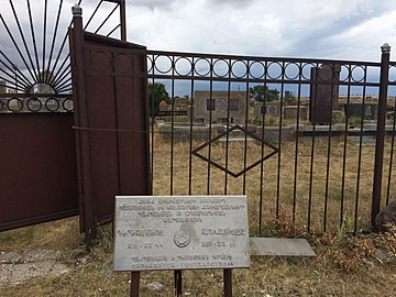 Cemetery


References
External links
Wikiwand - on
Seamless Wikipedia browsing. On steroids.