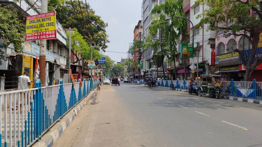
Bangur Avenue
Neighbourhood in Presidency, West Bengal, India From Wikipedia, the free encyclopedia
Bangur Avenue is a neighbourhood in South Dumdum of North 24 Parganas district in the Indian state of West Bengal. It is a part of the area covered by Kolkata Metropolitan Development Authority (KMDA).[1]
Bangur Avenue | |
|---|---|
Neighbourhood | |
 Bangur Avenue | |
| Coordinates: 22°36′17″N 88°24′58″E | |
| Country | India |
| State | West Bengal |
| Division | Presidency |
| District | North 24 Parganas |
| Metro Station | Belgachia |
| Government | |
| • Type | Municipality |
| • Body | South Dumdum Municipality |
| Languages | |
| • Official | Bengali, English |
| Time zone | UTC+5:30 (IST) |
| PIN | 700055 |
| Telephone code | +91 33 |
| Vehicle registration | WB |
| Vidhan Sabha constituency | Bidhannagar |
Geography
Police station
Lake Town police station under Bidhannagar Police Commissionerate has jurisdiction over Bangur areas.[2]

Post office
Bangur Avenue has a non-delivery sub post office, with PIN 700055 in the Kolkata East Division of North 24 Parganas district in Calcutta region. Other post offices with the same PIN are Dum Dum Park and Shyamnagar.[3]
Transport
Jessore Road and VIP Road run along the north boundary and the south boundary of Bangur Avenue respectively. Many buses ply along the two roads.
Bidhannagar Road railway station, Patipukur railway station, Kolkata Station and Dum Dum Junction are the railway stations close to Bangur Avenue.
The Netaji Subhash Chandra Bose International Airport is at a distance of about 6 kilometres from Bangur Avenue.
Markets
Markets near Bangur area are:
- Barat Bazar Market
- Annapurna Market
- Lake Town Fruits Market
- Kalindi Vatika Market
- Kalindi Bazar Market
References
External links
Wikiwand - on
Seamless Wikipedia browsing. On steroids.


