File:Mallorca.jpg
From Wikipedia, the free encyclopedia
Mida d'aquesta previsualització: 785 × 599 píxels. Altres resolucions: 314 × 240 píxels | 629 × 480 píxels | 1.006 × 768 píxels | 1.138 × 869 píxels.
Fitxer original (1.138 × 869 píxels, mida del fitxer: 164 Ko, tipus MIME: image/jpeg)
| Aquest fitxer i la informació mostrada a continuació provenen del dipòsit multimèdia lliure Wikimedia Commons. |
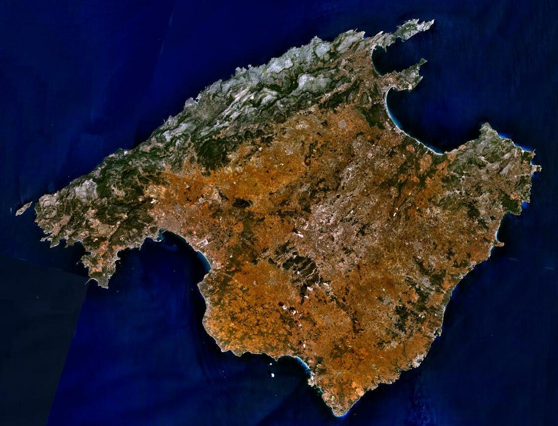
| DescripcióMallorca.jpg | Sattelite image of Majorca |
| Font | NASA World Wind - Used Filter: "NTL Landsat7 (Visible Color)" |
| Autor | NASA |
| Permís (Com reutilitzar aquest fitxer) |
"The Landsat Global Mosiac, Blue Marble, and the USGS raster maps and images are all Public Domain." (See http://www.worldwindcentral.com/wiki/Unofficial_FAQ#Are_images_on_World_Wind_copyrighted.3F |
| Public domainPublic domainfalsefalse |
| This image is in the public domain because it is a screenshot from NASA’s globe software World Wind using a public domain layer, such as Blue Marble, MODIS, Landsat, SRTM, USGS or GLOBE.
العربيَّة | English | فارسی | français | עברית | македонски | മലയാളം | Nederlands | русский | 中文(中国大陆) | +/− |
 |
Llegendes
Afegeix una explicació d'una línia del que representa aquest fitxer
Satellite image of Majorca
Imagen de satélite de Mallorca
Photographie satellite de l'île de Majorque
Elements representats en aquest fitxer
representa l'entitat
image/jpeg
Historial del fitxer
Cliqueu una data/hora per veure el fitxer tal com era aleshores.
| Data/hora | Miniatura | Dimensions | Usuari/a | Comentari | |
|---|---|---|---|---|---|
| actual | 19:19, 5 juny 2023 | | 1.138 × 869 (164 Ko) | PalauanLibertarian | Cropped 11 % horizontally, 8 % vertically using CropTool with precise mode. |
| 21:31, 30 des 2012 |  | 1.280 × 944 (174 Ko) | Rotatebot | Bot: Image rotated by 180° | |
| 11:16, 30 des 2012 |  | 1.280 × 944 (174 Ko) | Rotatebot | Bot: Image rotated by 180° | |
| 10:29, 15 maig 2005 |  | 1.280 × 958 (175 Ko) | Leipnizkeks | Sattelite image of Majorca - Source: NASA World Wind - Used Filter: "NTL Landsat7 (Visible Color)" - License: "The Landsat Global Mosiac, Blue Marble, and the USGS raster maps and images are all Public Domain." (See http://www.worldwindcentral.com/wiki/Un |
Ús del fitxer
Les 13 pàgines següents utilitzen aquest fitxer:
- Geografia de les Illes Balears
- Geografia dels Països Catalans
- Illes Balears
- Llista d'illes de la mar Mediterrània
- Mallorca
- Usuari:Aïda Lacomba Moreno
- Usuari:Bilif
- Usuari:Maria quetglas
- Plantilla:Distribució en les Illes Balears
- Portal:Illes Balears
- Portal:Illes Balears/Mallorca
- Viquiprojecte:PESCAR/2018
- Viquiprojecte:PESCAR/seguiment 2018
Ús global del fitxer
Utilització d'aquest fitxer en altres wikis:
- Utilització a af.wikipedia.org
- Utilització a an.wikipedia.org
- Utilització a ar.wikipedia.org
- Utilització a arz.wikipedia.org
- Utilització a ast.wikipedia.org
- Utilització a az.wikipedia.org
- Utilització a be-tarask.wikipedia.org
- Utilització a be.wikipedia.org
- Utilització a bg.wikipedia.org
- Utilització a br.wikipedia.org
- Utilització a ca.wikiquote.org
- Utilització a ceb.wikipedia.org
- Utilització a cs.wikipedia.org
- Utilització a cy.wikipedia.org
- Utilització a da.wikipedia.org
- Utilització a de.wikipedia.org
- Utilització a de.wikivoyage.org
- Utilització a de.wiktionary.org
- Utilització a el.wikipedia.org
- Utilització a en.wikipedia.org
- Utilització a en.wikivoyage.org
- Utilització a eo.wikipedia.org
- Utilització a eo.wikivoyage.org
- Utilització a es.wikipedia.org
Vegeu més usos globals d'aquest fitxer.
Obtingut de «https://ca.wikipedia.org/wiki/Fitxer:Mallorca.jpg»