Grens tussen Suid-Afrika en Lesotho
From Wikipedia, the free encyclopedia
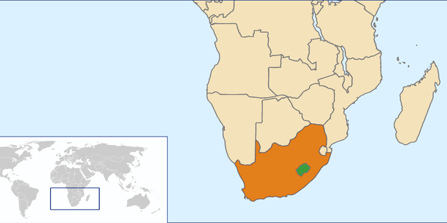
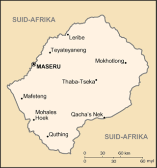
Die grens tussen Suid-Afrika en Lesotho is 1 106 kilometer (687 myl) lank[1] en vorm 'n voltooide sirkel, omrede Lesotho ingesluit en omring word deur Suid-Afrika aan al sy grense.


Die grens volg die Caledonrivier, die waterskeiding van die Drakensberg, die Telerivier, die Oranjerivier, die Makhalengrivier, en 'n reeks hoë gebergtes terug tot by die Caledon.
Grensposte
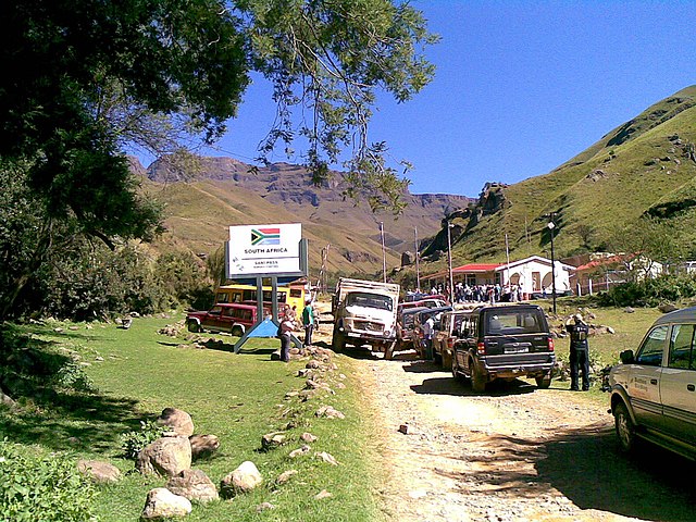
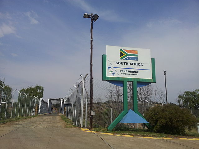
Hier is 'n lys van grensposte tussen Suid-Afrika en Lesotho.[2][3]
| Grenspos | Ure oop | Provinsie | Buurland |
|---|---|---|---|
| Boesmansnek | 08:00–16:00 | KwaZulu-Natal | Lesotho |
| Caledonspoort | 06:00–22:00 | Vrystaat | Lesotho |
| Ficksburgbrug | 24 uur | Vrystaat | Lesotho |
| Makhalengbrug | 08:00–16:00 | Vrystaat | Lesotho |
| Maserubrug | 24 uur | Vrystaat | Lesotho |
| Monantsapas | 08:00–16:00 | Vrystaat | Lesotho |
| Ongeluksnek | 08:00–16:00 | Oos-Kaap | Lesotho |
| Pekabrug | 08:00–16:00 | Vrystaat | Lesotho |
| Qachasnek | 06:00–22:00 | Oos-Kaap | Lesotho |
| Ramatseliso's Gate | 08:00–16:00 | Oos-Kaap | Lesotho |
| Sanipas | 06:00–18:00 | KwaZulu-Natal | Lesotho |
| Sepapushek | 08:00–16:00 | Vrystaat | Lesotho |
| Telebrug | 06:00–22:00 | Oos-Kaap | Lesotho |
| Van Rooyenshek | 08:00–22:00 | Vrystaat | Lesotho |
Verwysings
Wikiwand - on
Seamless Wikipedia browsing. On steroids.
