File:Philippines_relief_location_map.jpg
維基百科,自由的 encyclopedia
本预览的尺寸:454 × 599像素。 其他分辨率:182 × 240像素 | 364 × 480像素 | 582 × 768像素 | 776 × 1,024像素 | 1,871 × 2,468像素。
原始文件 (1,871 × 2,468像素,文件大小:1.23 MB,MIME类型:image/jpeg)
| 描述Philippines relief location map.jpg |
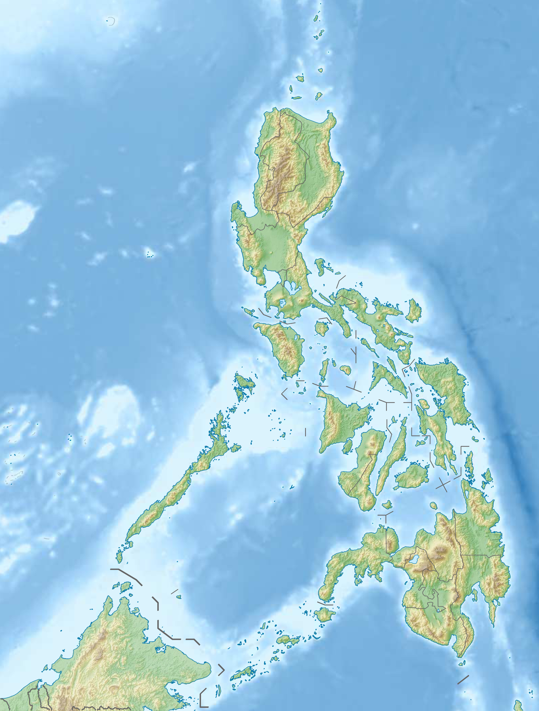
Deutsch: Physische Positionskarte der Philippinen
Quadratische Plattkarte, N-S-Streckung 103 %. Geographische Begrenzung der Karte:
English: Physical location map of the Philippines
Equirectangular projection, N/S stretching 103 %. Geographic limits of the map:
|
| 日期 | |
| 来源 |
自己的作品, using
|
| 作者 | Carport |
| 授权 (二次使用本文件) |
本文件采用知识共享署名-相同方式共享 3.0 未本地化版本许可协议授权。
|
| 其他版本 |
此文件衍生的作品: 2013 Lahad Datu standoff.svg
|


|
File:Philippines relief location map (square).svg是此文件的矢量版本。 如果此文件质量不低于原点阵图,就应该将这个JPG格式文件替换为此文件。
File:Philippines relief location map.jpg → File:Philippines relief location map (square).svg
更多信息请参阅Help:SVG/zh。
|
.svg) |
说明
添加一行文字以描述该文件所表现的内容
此文件中描述的项目
描繪內容
14 12 2012
文件历史
点击某个日期/时间查看对应时刻的文件。
| 日期/时间 | 缩略图 | 大小 | 用户 | 备注 | |
|---|---|---|---|---|---|
| 当前 | 2012年12月31日 (一) 15:07 | | 1,871 × 2,468(1.23 MB) | Carport | {{Information |Description= {{de|Physische Positionskarte der Philippinen}} Quadratische Plattkarte, N-S-Streckung 103 %. Geographische Begrenzung der Karte: * N: 21.2° N * S: 4.3° N * W: 114.1° O * O: 127.3° O {{en|Physical loc... |
文件用途
没有页面链接到本图像。
全域文件用途
以下其他wiki使用此文件:
- az.wikipedia.org上的用途
- Jolo adası
- Apo dağı
- Şablon:Yer xəritəsi Filippin
- Suriqao boğazı
- Luzon boğazı
- Kamotes dənizi
- Luson adası
- Mindanao
- Tayabas bərzəxi
- Samar
- Leyte
- Mindoro
- Luzon adaları
- Palavan
- Panay
- Neqros
- Visay adaları
- Mindanao adaları
- Batan adası
- Tubabao
- Marinduke
- Bohol
- Lubanq adası
- Romblon adası
- Biliran adası
- Borakay
- Maktan adası
- Siarqao adası
- Babuyan arxipelaqı
- Panqlao
- Lubanq arxipelaqı
- Mastabe adası
- Sibutu adası
- Sulu arxipelaqı
- Kalamian adaları
- Basilan
- Koron adası
- Sibuyan adası
- Bohol adası
- Sebu adası
- Leonard Knyazev vulkanı
- Taal gölü
- bar.wikipedia.org上的用途
- be.wikipedia.org上的用途
查看此文件的更多全域用途。