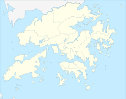
沙田岭(英语:Sha Tin Heights)是香港一个山岭,位于新界中部金山以东、大围以西,属于沙田区西南部之范围。该处是低密度住宅区,主要集中在沙田岭路两旁[1]。大埔公路-沙田岭段途经该处,而沙田岭隧道则从显田开始穿过其地底,从而直通沙田岭与尖山交界山谷之青沙公路收费广场接驳往返荔枝角蝴蝶谷之尖山隧道。
| 沙田岭 | |
|---|---|
 沙田岭 | |
| 最高点 | |
| 海拔 | 160米(525英尺) |
| 坐标 | 22°22′3.46″N 114°10′1.64″E |
| 地理 | |
| 位置 | 香港新界中部 |
参考资料
Wikiwand - on
Seamless Wikipedia browsing. On steroids.

