File:BlankMapTurkeyProvinces.png
維基百科,自由的 encyclopedia
預覽大小:800 × 391 像素。 其他解析度:320 × 156 像素 | 640 × 313 像素 | 1,024 × 500 像素。
原始檔案 (1,024 × 500 像素,檔案大小:35 KB,MIME 類型:image/png)
摘要
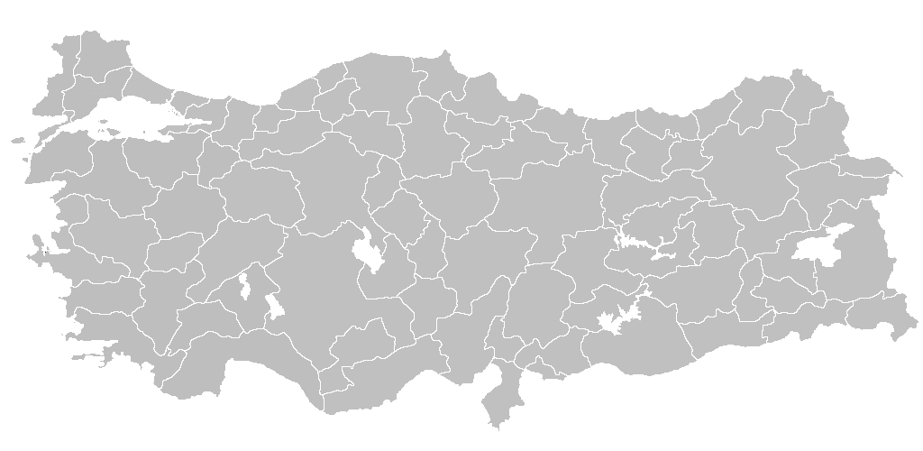
| 描述BlankMapTurkeyProvinces.png | Blank map of Republic of Turkey's provinces. The regions are carefully separated on per pixel basis and ready for filling in with a paint tool. |
| 日期 | |
| 來源 | Self drawn from scratch, based on data from official Turkish motorway network map |
| 作者 | Atilim Gunes Baydin |
| 授權許可 (重用此檔案) |
I grant permission for anyone to use this under the terms of GFDL license, see below |
| 其他版本 | Derivative works of this file: Secim2009Turkey.png and File:Ali Galip landing map.png |
授權條款
我,本作品的著作權持有者,決定用以下授權條款發佈本作品:

|
已授權您依據自由軟體基金會發行的無固定段落、封面文字和封底文字GNU自由文件授權條款1.2版或任意後續版本,對本檔進行複製、傳播和/或修改。該協議的副本列在GNU自由文件授權條款中。http://www.gnu.org/copyleft/fdl.htmlGFDLGNU Free Documentation Licensetruetrue |
| 此檔案採用共享創意 姓名標示-相同方式分享 3.0 未在地化版本授權條款。 | ||
| ||
| 已新增授權條款標題至此檔案,作為GFDL授權更新的一部份。http://creativecommons.org/licenses/by-sa/3.0/CC BY-SA 3.0Creative Commons Attribution-Share Alike 3.0truetrue |
您可以選擇您需要的授權條款。

|
File:Turkey provinces blank gray.svg是本檔案的向量版本。 如果品質不低,就應該優先使用該檔案,而非PNG檔案。
File:BlankMapTurkeyProvinces.png → File:Turkey provinces blank gray.svg
更多資訊請參閱Help:SVG/zh。
|
 |
說明
添加單行說明來描述出檔案所代表的內容
在此檔案描寫的項目
描繪內容
GNU自由文檔許可證1.2或更高版本 繁體中文 (已轉換拼寫)
21 12 2006
多媒體型式 繁體中文 (已轉換拼寫)
image/png
35,650 位元組
500 像素
1,024 像素
檔案歷史
點選日期/時間以檢視該時間的檔案版本。
| 日期/時間 | 縮圖 | 尺寸 | 用戶 | 備註 | |
|---|---|---|---|---|---|
| 目前 | 2013年4月25日 (四) 20:40 | | 1,024 × 500(35 KB) | Maurice07 | Added Bozcaada and some islands on Marmara Sea |
| 2007年2月18日 (日) 22:14 |  | 1,024 × 500(23 KB) | AtilimGunesBaydin | Removed Samothraki, which was accidentally included. I'm sorry for the mistake. | |
| 2006年12月22日 (五) 16:46 |  | 1,024 × 500(23 KB) | AtilimGunesBaydin | Slight resize. | |
| 2006年12月21日 (四) 21:51 |  | 1,024 × 499(23 KB) | AtilimGunesBaydin | {{Information |Description=Blank map of Republic of Turkey's provinces |Source=Drawn from scratch on based on data from [http://www.kgm.gov.tr/images/trkh-yeni1.jpg official Turkish motorway network map] |Date=December 21, 2006 |Author=[[:e |
檔案用途
下列4個頁面有用到此檔案:
全域檔案使用狀況
以下其他 wiki 使用了這個檔案:
- en.wikipedia.org 的使用狀況
- List of largest cities and towns in Turkey
- Provinces of Turkey
- Portal:Turkey
- Government of Turkey
- Portal:Turkey/Provinces
- Template:Turkey Labelled Map
- Administrative divisions of Turkey
- Turkey
- Talk:Ethnic groups in Europe/Archive 2
- Turkish dialects
- User:Underlying lk/sandbox2
- User talk:Vsmith/Archive27
- User:Mhdptl/sandbox
- User:Mhdptl/sandbox2
- hi.wikipedia.org 的使用狀況
- hr.wikipedia.org 的使用狀況
- hu.wiktionary.org 的使用狀況
- hy.wikipedia.org 的使用狀況
- id.wikipedia.org 的使用狀況
- Turki
- Provinsi Adana
- Templat:Turki
- Provinsi Adıyaman
- Provinsi Afyonkarahisar
- Provinsi Ağrı
- Provinsi Aksaray
- Provinsi Amasya
- Provinsi Ankara
- Provinsi Konya
- Provinsi Antalya
- Provinsi Ardahan
- Provinsi Artvin
- Provinsi Aydın
- Provinsi Balıkesir
- Provinsi Bartın
- Provinsi Batman
- Provinsi Zonguldak
- Provinsi Yozgat
- Provinsi Yalova
檢視此檔案的更多全域使用狀況。
詮釋資料
此檔案中包含擴展的資訊。這些資訊可能是由數位相機或掃描器在建立時或數位化過程中所加入。
如果此檔案的來源檔案已被修改,一些資訊在修改後的檔案中將不能完全反映出來。
| 水平解析度 | 37.79 dpc |
|---|---|
| 垂直解析度 | 37.79 dpc |
| 檔案修改日期時間 | 2007年2月18日 (日) 22:12 |