萨姆特堡
来自维基百科,自由的百科全书
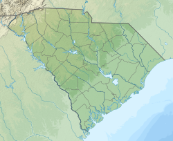
萨姆特堡(英语:Fort Sumter)是位于美国南卡罗来纳州查尔斯顿港的一处石制防御工事,始建于1829年,以美国独立战争英雄托马斯·萨姆特将军的姓来命名。


参考文献
外部链接
Wikiwand in your browser!
Seamless Wikipedia browsing. On steroids.
Every time you click a link to Wikipedia, Wiktionary or Wikiquote in your browser's search results, it will show the modern Wikiwand interface.
Wikiwand extension is a five stars, simple, with minimum permission required to keep your browsing private, safe and transparent.


