Gambar:Europe_location_SCO2.png
From Wikipedia, the free encyclopedia
Ukuran ieu pramidang: 800 × 599 pixel. Resolusi lianna: 320 × 240 pixel | 640 × 479 pixel | 1.024 × 767 pixel | 1.280 × 959 pixel | 1.594 × 1.194 pixel.
Berkas asli (1.594 × 1.194 piksel, ukuran koropak: 558 KB, tipeu MIME: image/png)
| Berkas ieu asalna ti Wikimedia Commons. Kaca ngeunaan katerangan berkas ieu di Commons aya disalin di handap. Commons téh hiji gudang berkas bébas nu eusina disumbang ku balaréa. |
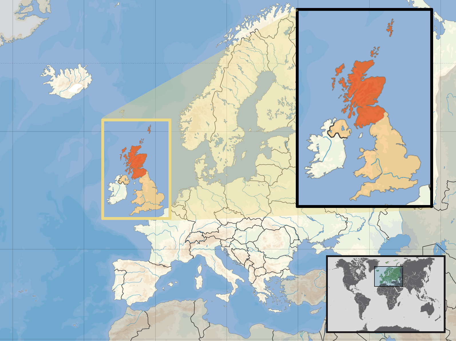
| PedaranEurope location SCO2.png | Location of Scotland in the UK and Europe, on terrain map showing surface and underwater contour areas. | |||
| Titimangsa | ||||
| Sumber | Derived from Wikimedia Commons image of original work forming part of the "Europe location" map series created by David Liuzzo: derived from Image:Europe_location_SCO.png. | |||
| Pangarang | uploaded by User:Kmusser (excerpt from User:David_Liuzzo) | |||
| Widi (Migunakeun deui ieu berkas) |
|
|||
| Versi lainnya |
|


Captions
Add a one-line explanation of what this file represents
Items portrayed in this file
menggambarkan Indonesia
status hak cipta Indonesia
berhak cipta Indonesia
lisensi Indonesia
attribution only license Inggris
sejak Indonesia
29 Séptémber 2008
Jujutan berkas
Klik dina titimangsa pikeun nempo koropak nu aya dina mangsa éta.
| Titimangsa | Miniatur | Ukuran | Pamaké | Kamandang | |
|---|---|---|---|---|---|
| kiwari | 10 April 2017 12.39 | | 1.594 × 1.194 (558 KB) | Von Sprat | Reverted to version as of 12:25, 27 May 2010 (UTC) |
| 10 April 2017 12.39 |  | 1.600 × 1.200 (788 KB) | Von Sprat | greece/turkey border | |
| 27 Méi 2010 12.25 |  | 1.594 × 1.194 (558 KB) | Ras67 | cropped | |
| 29 Séptémber 2008 17.31 |  | 1.600 × 1.200 (767 KB) | Kmusser | re-cropped inset to include Shetlands | |
| 29 Séptémber 2008 17.22 |  | 1.600 × 1.200 (807 KB) | Kmusser | {{Information |Description= Location of Scotland in the UK and Europe, on terrain map showing surface and underwater contour areas. |Source=Derived from Wikimedia Commons image of original work forming part of the "Europe location" map series |
Pamakéan berkas
Ieu berkas dipaké ku kaca di handap:
Pamakéan berkas sajagat
Wiki lianna anu maké ieu berkas:
- Pamakéan di als.wikipedia.org
- Pamakéan di an.wikipedia.org
- Pamakéan di az.wiktionary.org
- Pamakéan di ca.wikipedia.org
- Pamakéan di da.wikipedia.org
- Pamakéan di en.wikipedia.org
- Pamakéan di es.wikipedia.org
- Pamakéan di eu.wiktionary.org
- Pamakéan di ext.wikipedia.org
- Pamakéan di fiu-vro.wikipedia.org
- Pamakéan di fr.wikinews.org
- Pamakéan di gag.wikipedia.org
- Pamakéan di gl.wikipedia.org
- Pamakéan di hr.wikipedia.org
- Pamakéan di hr.wikiquote.org
- Pamakéan di kn.wikipedia.org
- Pamakéan di krc.wikipedia.org
- Pamakéan di ml.wikipedia.org
- Pamakéan di mnw.wikipedia.org
- Pamakéan di mr.wikipedia.org
- Pamakéan di my.wikipedia.org
- Pamakéan di nov.wikipedia.org
- Pamakéan di no.wikipedia.org
- Pamakéan di pl.wikipedia.org
- Pamakéan di pl.wikivoyage.org
- Pamakéan di pl.wiktionary.org
- Pamakéan di sv.wikivoyage.org
- Pamakéan di te.wikipedia.org
- Pamakéan di tr.wikipedia.org
- Pamakéan di ug.wikipedia.org
- Pamakéan di vls.wikipedia.org
- Pamakéan di yo.wikipedia.org