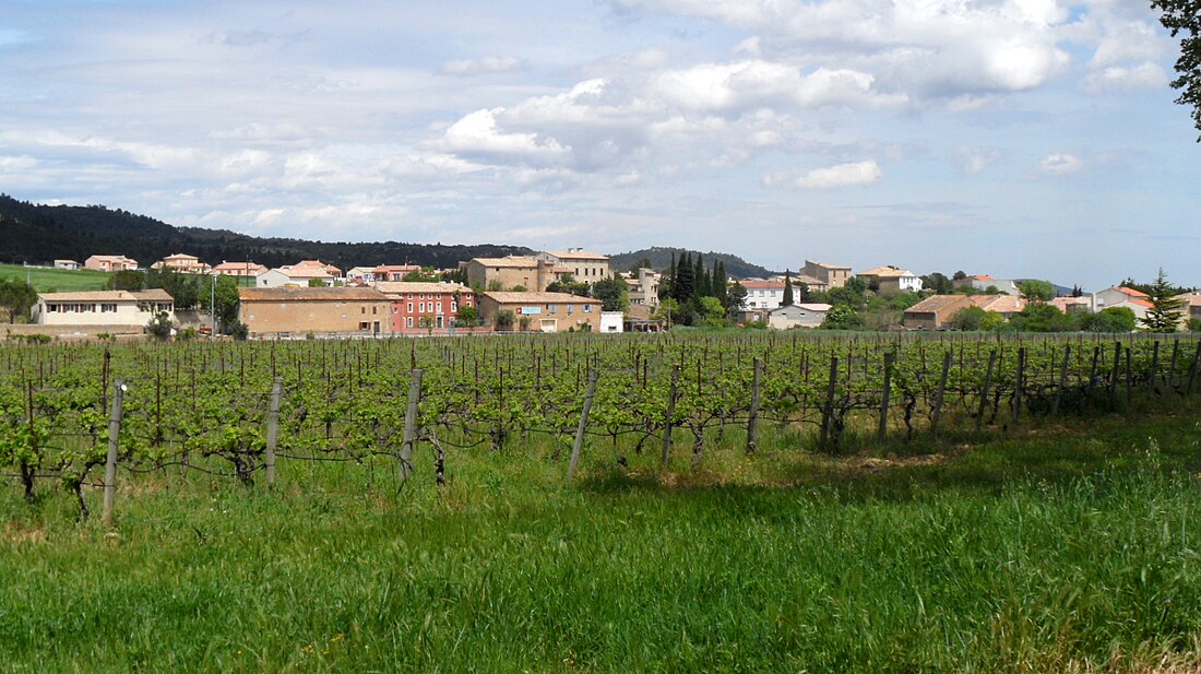
Tournissan is a commune. It is in the region Occitanie in the Aude department in the south of France.
Tournissan | |
|---|---|
 A general view of Tournissan | |
| Coordinates: 43°04′56″N 2°39′54″E | |
| Country | France |
| Region | Occitanie |
| Department | Aude |
| Arrondissement | Narbonne |
| Canton | Les Corbières |
| Intercommunality | Canton of Lagrasse |
| Government | |
| • Mayor (2008–2014) | Michel Gérard |
| Area 1 | 11.53 km2 (4.45 sq mi) |
| Population | 270 |
| • Density | 23/km2 (61/sq mi) |
| Time zone | UTC+01:00 (CET) |
| • Summer (DST) | UTC+02:00 (CEST) |
| INSEE/Postal code | 11392 /11220 |
| Elevation | 119–310 m (390–1,017 ft) (avg. 133 m or 436 ft) |
| 1 French Land Register data, which excludes lakes, ponds, glaciers > 1 km2 (0.386 sq mi or 247 acres) and river estuaries. | |
References
Wikiwand in your browser!
Seamless Wikipedia browsing. On steroids.
Every time you click a link to Wikipedia, Wiktionary or Wikiquote in your browser's search results, it will show the modern Wikiwand interface.
Wikiwand extension is a five stars, simple, with minimum permission required to keep your browsing private, safe and transparent.


