Sylhet
city in Bangladesh From Wikipedia, the free encyclopedia
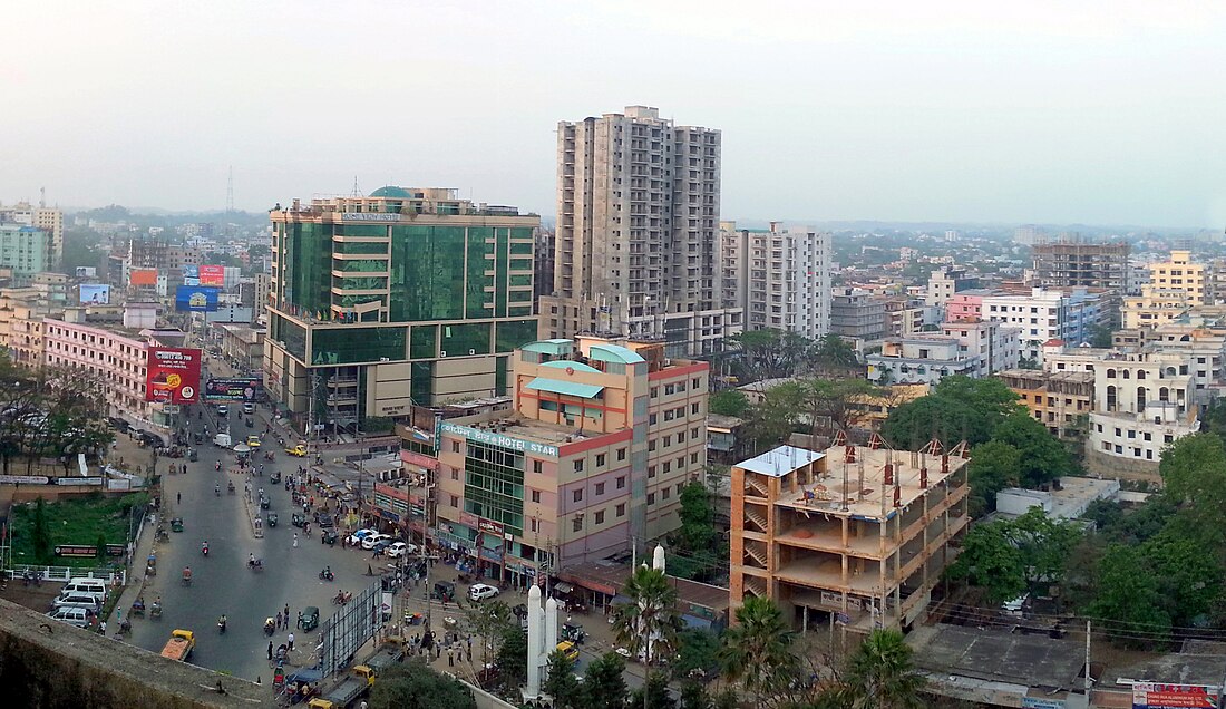
Sylhet is a major city in north-eastern Bangladesh. It is the main city of Sylhet Division and Sylhet District. It was given metropolitan city status in March 2009.[1] Sylhet is on the banks of the Surma Valley. It is surrounded by the Jaintia, Khasi and Tripura hills. The city has almost 500,000 people. It is one of the largest cities in Bangladesh. The Sylhet region is well known for its tea gardens and tropical forests. Sylhet is one of the richest cities in Bangladesh.[4]
Sylhet ꠡꠤꠟꠦꠐ (Silēţ) | |
|---|---|
| Sylhet City Corporation | |
 | |
 | |
| Coordinates: 24°53′N 91°52′E | |
| Division | Sylhet Division |
| District | Sylhet District |
| Metropolitan city status | 31 March 2009[1] |
| Sylhet City Corporation | 9 April 2001 |
| Municipal Board | 1867 |
| Government | |
| • Mayor | Badar Uddin Ahmed Kamran (Awami League) |
| Area | |
| • Total | 26.50 km2 (10.23 sq mi) |
| Population (2008)[2] | |
| • Total | 463,198 |
| • Density | 17,479/km2 (45,270/sq mi) |
| • Demonym | Sylheti |
| • Ethnicity[3] | 99% Bengali 1% Manipuri Khasi and others |
| Demographics | |
| • Languages | Sylheti, Bengali, English |
| • Literacy rate | 70% |
| Time zone | UTC+6 (BST) |
| Post code | 3100 |
| Website | Official website |
The city is called a City of Saints.[5] There is the mausoleum of the great saint Hazrat Shah Jalal, who brought Islam to Bengal during the 14th century.[6]
References
Other websites
Wikiwand - on
Seamless Wikipedia browsing. On steroids.
