Nankhari
tehsil in Himachal Pradesh, India From Wikipedia, the free encyclopedia
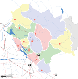
Nankhari is a Tehsil (town) and a block in Shimla district in the Indian state of Himachal Pradesh.[6][7][8][9]It is about 92.5 km from Shimla and 33 km from NH passing through Narkanda and is connected with NH 5 which passes through Narkanda, Theog and Kumarsain.[10]It consists of 17 Gram panchayat and 102 villages.[11][12]
Nankhari
ननखड़ी ननख़री | |
|---|---|
| Coordinates: 31°18′16″N 77°35′21″E[1] | |
| Country | India |
| State | Himachal Pradesh |
| District | Shimla |
| Area | |
| • Total | 157 km2 (61 sq mi) |
| Elevation | 2,086 m (6,844 ft) |
| Population (2011)[2] | |
| • Total | 26,238 |
| • Density | 167/km2 (430/sq mi) |
| Languages | |
| • Official | Hindi |
| Time zone | UTC+5:30 (IST) |
| PIN | |
| Vehicle registration | HP-06, HP-92 |
Geography
Nankhari is in a mountainous area. It is also a tourism place.[13]The location co-ordinates of Nankhari are 31°18′16″N 77°35′21″E. The elevation of Nankhari is 2086 m. Nankhari is 33km far away from Narkanda. It is 92.3 km away from Shimla.
Climate
The average temperature of the year is 15°C, with variations from changes in elevation.[14]
Transport
There is also a helipad in Tharudhaar. It is 33km far away from Narkanda's NH 5. It is 92.3 km far away from Shimla. It is distanced 66 km from Rampur Bushahr.[15]
References
Wikiwand - on
Seamless Wikipedia browsing. On steroids.


