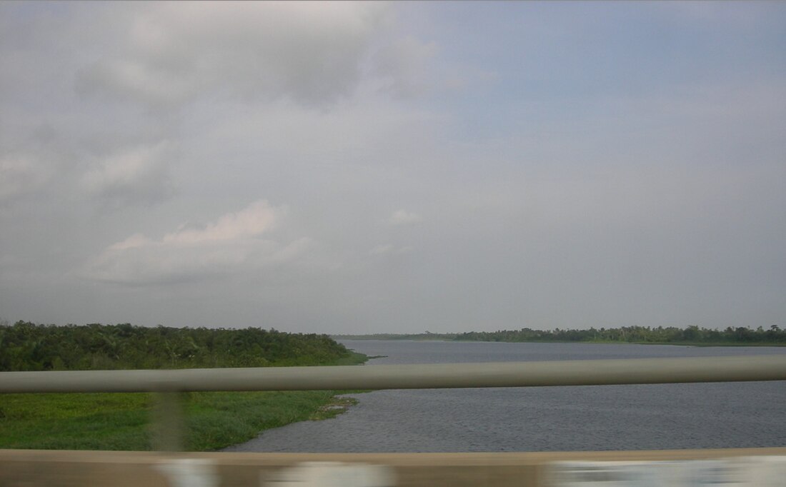
Lagos Lagoon
lake From Wikipedia, the free encyclopedia
Lagos Lagoon is a lagoon in Nigeria. It is named after the city of Lagos, Nigeria. The city is on the southwestern side of the lagoon.
| Lagos Lagoon | |
|---|---|
 Lagos Lagoon in 2007 | |
| Location | Lagos State, Nigeria |
| Coordinates | 6.5015814°N 3.5224915°E |
| Type | lagoon |
| Basin countries | Nigeria |
| Max. length | 50 km (31 mi) |
| Max. width | 13 km (8.1 mi) |
| Surface area | 6,354.7 km2 (2,453.6 sq mi) |
| Surface elevation | 0 m (0 ft) |
| Islands | Lagos Island, Victoria Island |
| Settlements | Lagos |
Description
The lagoon is more than 50 kilometres (31 miles) long. It is 3 to 13 kilometres (1.9 to 8.1 miles) wide. It is separated from the Atlantic Ocean by a long sand spit 2 to 5 kilometres (1.2 to 3.1 miles) wide. The sand spit has swampy margins on the lagoon side. The lagoon's surface area is about 6,354.7 square kilometres (2,453.6 square miles).[1] It is fairly shallow. Ocean-going ships don't go through it. Smaller barges and boats do.
References
Wikiwand - on
Seamless Wikipedia browsing. On steroids.
