Coffeyville, Kansas
city in southeastern Montgomery County, Kansas, United States From Wikipedia, the free encyclopedia
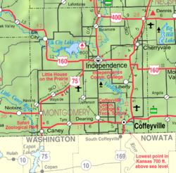
Coffeyville is a city in southeastern Montgomery County, Kansas, United States, located along the Verdigris River in the state's southeastern region.[1] As of the 2020 census, the city population was 8,826.[4] It is the most populous city of Montgomery County and with its southeast Kansas location is in the Tulsa, Oklahoma media market. The town of South Coffeyville, Oklahoma is located approximately 1 mile south of the city, existing as a separate political entity immediately south of the state line.
Coffeyville, Kansas | |
|---|---|
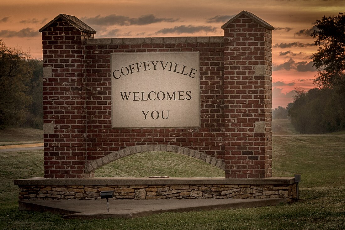
 Sign at the west entrance (2016) | |
 Location within Montgomery County and Kansas | |
 | |
| Coordinates: 37°02′06″N 95°37′48″W[1] | |
| Country | United States |
| State | Kansas |
| County | Montgomery |
| Founded | 1869 |
| Incorporated | 1873[2] |
| Named for | James A. Coffey |
| Area | |
| • Total | 9.47 sq mi (24.52 km2) |
| • Land | 9.47 sq mi (24.52 km2) |
| • Water | 0.00 sq mi (0.00 km2) |
| Elevation | 735 ft (224 m) |
| Population | |
| • Total | 8,826 |
| • Density | 930/sq mi (360/km2) |
| Time zone | UTC-6 (CST) |
| • Summer (DST) | UTC-5 (CDT) |
| ZIP code | 67337 |
| Area code | 620 |
| FIPS code | 20-14600 |
| GNIS ID | 485556[1] |
| Website | coffeyville.com |
History
The city was first incorporated in 1872, but the charter was voided as illegal. The city was re-incorporated in March 1873.[2][5]
Geography
The United States Census Bureau says that the city has a total area of 9.47 square miles (24.53 km2). All of it is land.[3]
Climate
| Climate data for Coffeyville, Kansas | |||||||||||||
|---|---|---|---|---|---|---|---|---|---|---|---|---|---|
| Month | Jan | Feb | Mar | Apr | May | Jun | Jul | Aug | Sep | Oct | Nov | Dec | Year |
| Record high °F (°C) | 74 (23) |
86 (30) |
90 (32) |
100 (38) |
95 (35) |
104 (40) |
116 (47) |
112 (44) |
108 (42) |
98 (37) |
86 (30) |
78 (26) |
116 (47) |
| Average high °F (°C) | 42 (6) |
48 (9) |
58 (14) |
68 (20) |
76 (24) |
85 (29) |
90 (32) |
91 (33) |
82 (28) |
70 (21) |
57 (14) |
45 (7) |
68 (20) |
| Average low °F (°C) | 20 (−7) |
25 (−4) |
34 (1) |
43 (6) |
55 (13) |
64 (18) |
68 (20) |
66 (19) |
57 (14) |
45 (7) |
34 (1) |
23 (−5) |
45 (7) |
| Record low °F (°C) | −20 (−29) |
−16 (−27) |
−6 (−21) |
14 (−10) |
28 (−2) |
40 (4) |
47 (8) |
45 (7) |
27 (−3) |
15 (−9) |
2 (−17) |
−18 (−28) |
−20 (−29) |
| Average precipitation inches (mm) | 1.65 (42) |
2.04 (52) |
3.47 (88) |
4.32 (110) |
6.60 (168) |
5.98 (152) |
3.83 (97) |
3.54 (90) |
4.87 (124) |
4.14 (105) |
2.98 (76) |
2.28 (58) |
45.7 (1,162) |
| Average snowfall inches (cm) | 7.7 (20) |
6 (15) |
3.8 (9.7) |
1 (2.5) |
0 (0) |
0 (0) |
0 (0) |
0 (0) |
0 (0) |
0.1 (0.25) |
1.6 (4.1) |
6 (15) |
26.2 (66.55) |
| Source: http://www.weather.com/weather/wxclimatology/monthly/graph/USKS0119 | |||||||||||||
People
2020 census
The 2020 census says that there were 8,826 people, 3,587 households, and 2,013 families living in Coffeyville. Of the households, 60.0% owned their home and 40.0% rented their home.
The median age was 37.7 years. Of the people, 64.7% were White, 11.2% were Black, 4.2% were Native American, 0.7% were Asian, 0.1% were Pacific Islanders, 6.5% were from some other race, and 12.7% were two or more races. Hispanic or Latino of any race were 12.6% of the people.[7][8]
2010 census
The 2010 census[9] says that there were 10,295 people, 4,226 households, and 2,456 families living in Coffeyville.
Media
The Coffeyville Journal is the local newspaper. They publish twice per week.[10]
References
Other websites
Wikiwand - on
Seamless Wikipedia browsing. On steroids.
