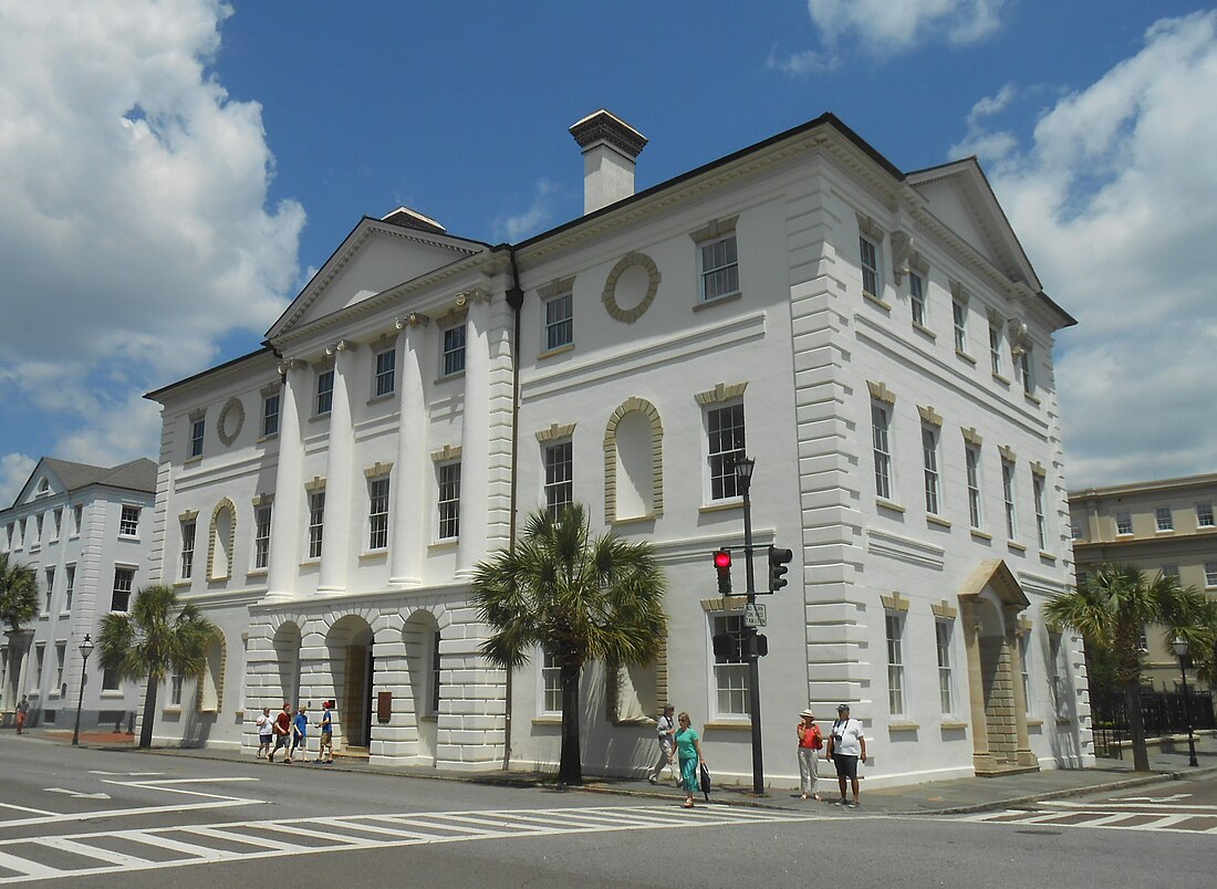
Charleston County, South Carolina
county in South Carolina, United States From Wikipedia, the free encyclopedia
Remove ads
Charleston County is a county in the U.S. state of South Carolina. As of the 2020 census, 408,235 people lived there,[1] making it the third-most populous county in South Carolina (after Greenville and Richland counties). Its county seat is Charleston.[2] The county was formed in 1901.
Remove ads
Remove ads
Geography
According to the U.S. Census Bureau, the county has a total area of 1,358 square miles (3,520 km2), of which 916 square miles (2,370 km2) is land and 442 square miles (1,140 km2) (33%) is water.[7] It is the largest county in South Carolina by total land and water area. It is along the Atlantic coast.
Bordering counties
- Berkeley County - north
- Georgetown County - northeast
- Colleton County - west
- Dorchester County - northwest
Remove ads
Communities
Cities
- Charleston (county seat) (partly in Berkeley County)
- Folly Beach
- Isle of Palms
- North Charleston (partly in Dorchester County and Berkeley County)
Towns
- Awendaw
- Hollywood
- James Island
- Kiawah Island
- Lincolnville (partly in Dorchester County)
- McClellanville
- Meggett
- Mount Pleasant
- Ravenel
- Rockville
- Seabrook Island
- Sullivan's Island
- Summerville (partly in Dorchester County and Berkeley County)
Census-designated place
- Adams Run
- Ladson (partly in Berkeley County)
Unincorporated communities
- Edisto Island (partly in Colleton County)
- Johns Island
Remove ads
References
Other websites
Wikiwand - on
Seamless Wikipedia browsing. On steroids.
Remove ads


