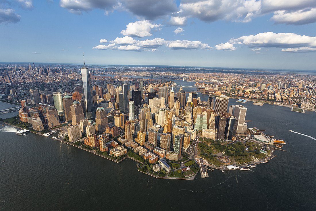
The New York metropolitan area is the city and suburbs of New York City. It includes Long Island and the Mid- and Lower Hudson Valley in the state of New York. It also includes north and central New Jersey, three counties in western Connecticut and five counties in northeastern Pennsylvania.

Quick Facts Country, States ...
New York metropolitan area
Thumb
Lower Manhattan and nearby areas
Thumb
Location within the United States
Country United States
States New York
 New Jersey
 Connecticut
 Pennsylvania
Core city New York City
Satellite cities
Area
  Urban3,248.1 sq mi (8,413 km2)
  Metro
8,294.2 sq mi (21,482 km2)
Population
 (2020)[2]
  Urban19,426,449
  Urban density5,980.8/sq mi (2,309.2/km2)
  Metro density2,421.2/sq mi (934.8/km2)
  Metro
20,081,935 (1st)
  CSA
22,431,833 (1st)
DemonymMetro New Yorker
GDP
  Metro$2.163 trillion (2022)
  CSA$2.504 trillion (2022)
Time zoneUTC−05:00 (EST)
  Summer (DST)UTC−04:00 (EDT)
Area codes201, 203, 212, 332, 272, 347, 475, 484, 516, 551, 570, 609, 610, 631, 640, 646, 718, 732, 845, 848, 860, 862, 908, 914, 917, 929, 973
Close
Thumb
Satellite image of the New York metropolitan area, the largest metropolitan area in the United States and one of the largest in the world, with Long Island in the east and Manhattan in the image's center.

The New York metropolitan area is the most populous in US. This includes the numbers defined by both the Metropolitan Statistical Area (20.1 million residents) and the Combined Statistical Area (22.4 million residents).[2] It is also one of the most populous built-up areas in the world, and the single largest in North America.[5][6][7]

References

Wikiwand in your browser!

Seamless Wikipedia browsing. On steroids.

Every time you click a link to Wikipedia, Wiktionary or Wikiquote in your browser's search results, it will show the modern Wikiwand interface.

Wikiwand extension is a five stars, simple, with minimum permission required to keep your browsing private, safe and transparent.