science of maps From Wikipedia, the free encyclopedia
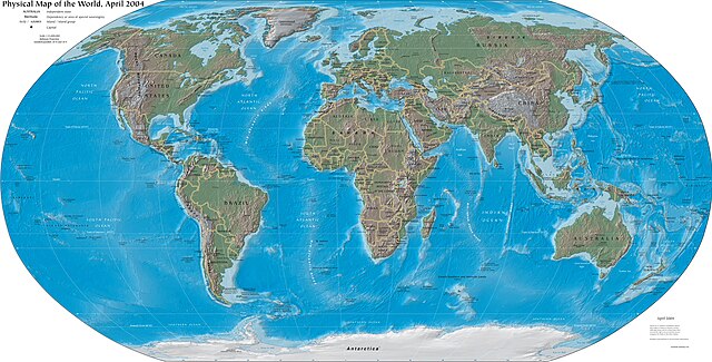
Cartography is making maps. It is part of geography. How people make maps is always changing. In the past, maps were drawn by hand, but today most printed maps are made using computers and people usually see maps on computer screens. Someone who makes maps is called a cartographer.


Making a map can be as simple as drawing a direction on a napkin, or as complicated as showing a whole country or world. Anyone can make a map, but cartographers spend their lives learning how to make better maps.
For many centuries maps were usually carefully drawn onto paper or parchment. Now they are made on a computer which makes them look neater with accurate images.[3]
Maps are of two main types:
General maps are produced in a series. Governments produce them in larger-scale and smaller-scale maps of great detail.
Thematic maps are now very common. They are necessary to show spatial, cultural and social data.
Seamless Wikipedia browsing. On steroids.
Every time you click a link to Wikipedia, Wiktionary or Wikiquote in your browser's search results, it will show the modern Wikiwand interface.
Wikiwand extension is a five stars, simple, with minimum permission required to keep your browsing private, safe and transparent.