Lower Shelton
Z Wikipedii, wolnej encyklopedii
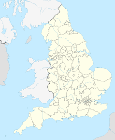
Lower Shelton – wieś w Anglii, w hrabstwie ceremonialnym Bedfordshire, w dystrykcie (unitary authority) Central Bedfordshire. Leży 9 km na południowy zachód od centrum miasta Bedford i 70 km na północny zachód od centrum Londynu[1].
 | |
| Państwo | |
|---|---|
| Kraj | |
| Region | |
| Hrabstwo ceremonialne | |
| Unitary authority | |
| Nr kierunkowy |
01234 |
| Kod pocztowy |
MK43 |
Położenie na mapie Bedfordshire  | |
Położenie na mapie Wielkiej Brytanii  | |
Położenie na mapie Anglii  | |
| 52°05′N 0°33′W | |
Przypisy
Wikiwand - on
Seamless Wikipedia browsing. On steroids.
