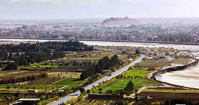
Laghouat
From Wikipedia, the free encyclopedia
Laghouat er en algerisk by som ligger i provinsen Laghouat.
| Laghouat | |||
|---|---|---|---|
 | |||
| Land | |||
| Grunnlagt | 11. århundre (Julian) | ||
| Postnummer | 03000 | ||
| Areal | 25 057 km² | ||
| Befolkning | 134 372[1] (2008) | ||
| Bef.tetthet | 5,36 innb./km² | ||
| Høyde o.h. | 769 meter | ||
 Laghouat 33°48′00″N 2°51′54″Ø | |||
Laghouat dekker et areal på 400 km² og hadde 134 372 innbyggere per 2008.[1]

Referanser
Eksterne lenker
Wikiwand in your browser!
Seamless Wikipedia browsing. On steroids.
Every time you click a link to Wikipedia, Wiktionary or Wikiquote in your browser's search results, it will show the modern Wikiwand interface.
Wikiwand extension is a five stars, simple, with minimum permission required to keep your browsing private, safe and transparent.
