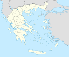
Omiroupoli[1] (Grieks: Ομηρούπολη) is een deelgemeente (dimotiki enotita) van de fusiegemeente (dimos) Chios, in de Griekse bestuurlijke regio (periferia) Noord-Egeïsche Eilanden.
| Plaats in Griekenland | |||
|---|---|---|---|
| Situering | |||
| Periferie | Noord-Egeïsche Eilanden | ||
| Gemeente | Chios | ||
| Coördinaten | 38° 25′ NB, 26° 3′ OL | ||
| Algemeen | |||
| Oppervlakte | 155,015 km² | ||
| Inwoners (2001) |
7335 | ||
| Hoogte | 900 m | ||
| Overig | |||
| Postcode | 822 00 | ||
| Website | www | ||
| |||
In deze deelgemeente ligt het Byzantijns klooster Nea Moni, werelderfgoed.
Bronnen, noten en/of referenties
Wikiwand in your browser!
Seamless Wikipedia browsing. On steroids.
Every time you click a link to Wikipedia, Wiktionary or Wikiquote in your browser's search results, it will show the modern Wikiwand interface.
Wikiwand extension is a five stars, simple, with minimum permission required to keep your browsing private, safe and transparent.
