चित्र:Europe_location_SCO2.png
From Wikipedia, the free encyclopedia
या झलकेचा आकार: ८०० × ५९९ पिक्सेल पिक्सेल. इतर resolutions: ३२० × २४० पिक्सेल | ६४० × ४७९ पिक्सेल | १,०२४ × ७६७ पिक्सेल | १,२८० × ९५९ पिक्सेल | १,५९४ × १,१९४ पिक्सेल.
मूळ संचिका (१,५९४ × १,१९४ पिक्सेल, संचिकेचा आकार: ५५८ कि.बा., MIME प्रकार: image/png)
ही संचिका Wikimedia Commons येथील असून ती इतर प्रकल्पात वापरलेली असू शकते. तिचे तेथील संचिका वर्णन पान खाली दाखवले आहे.
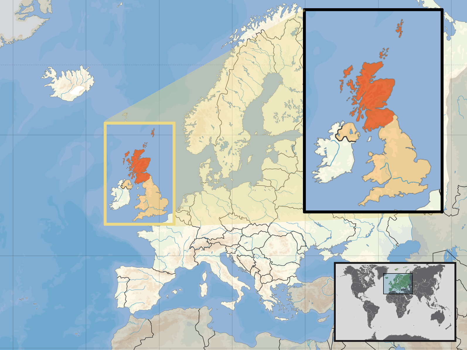
| वर्णनEurope location SCO2.png | Location of Scotland in the UK and Europe, on terrain map showing surface and underwater contour areas. | |||
| दिनांक | ||||
| स्रोत | Derived from Wikimedia Commons image of original work forming part of the "Europe location" map series created by David Liuzzo: derived from Image:Europe_location_SCO.png. | |||
| लेखक | uploaded by User:Kmusser (excerpt from User:David_Liuzzo) | |||
| परवानगी (या संचिकेचा पुनर्वापर करीत आहे) |
|
|||
| इतर आवृत्तींस |
|


Captions
Add a one-line explanation of what this file represents
Items portrayed in this file
depicts इंग्रजी
copyright status इंग्रजी
copyrighted इंग्रजी
attribution only license इंग्रजी
२९ सप्टेंबर 2008
संचिकेचा इतिहास
संचिकेची त्यावेळची आवृत्ती बघण्यासाठी त्या दिनांक/वेळेवर टिचकी द्या.
| दिनांक/वेळ | छोटे चित्र | आकार | सदस्य | प्रतिक्रीया | |
|---|---|---|---|---|---|
| सद्य | १८:०९, १० एप्रिल २०१७ | | १,५९४ × १,१९४ (५५८ कि.बा.) | Von Sprat | Reverted to version as of 12:25, 27 May 2010 (UTC) |
| १८:०९, १० एप्रिल २०१७ |  | १,६०० × १,२०० (७८८ कि.बा.) | Von Sprat | greece/turkey border | |
| १७:५५, २७ मे २०१० |  | १,५९४ × १,१९४ (५५८ कि.बा.) | Ras67 | cropped | |
| २३:०१, २९ सप्टेंबर २००८ |  | १,६०० × १,२०० (७६७ कि.बा.) | Kmusser | re-cropped inset to include Shetlands | |
| २२:५२, २९ सप्टेंबर २००८ |  | १,६०० × १,२०० (८०७ कि.बा.) | Kmusser | {{Information |Description= Location of Scotland in the UK and Europe, on terrain map showing surface and underwater contour areas. |Source=Derived from Wikimedia Commons image of original work forming part of the "Europe location" map series |
दुवे
खालील पाने या संचिकेला जोडली आहेत:
जागतिक संचिका उपयोग
संचिकाचे इतर विकिपीडियावरील वापरः
- als.wikipedia.org वरील उपयोग
- an.wikipedia.org वरील उपयोग
- az.wiktionary.org वरील उपयोग
- ca.wikipedia.org वरील उपयोग
- da.wikipedia.org वरील उपयोग
- en.wikipedia.org वरील उपयोग
- es.wikipedia.org वरील उपयोग
- eu.wiktionary.org वरील उपयोग
- ext.wikipedia.org वरील उपयोग
- fiu-vro.wikipedia.org वरील उपयोग
- fr.wikinews.org वरील उपयोग
- gag.wikipedia.org वरील उपयोग
- gl.wikipedia.org वरील उपयोग
- hr.wikipedia.org वरील उपयोग
- hr.wikiquote.org वरील उपयोग
- kn.wikipedia.org वरील उपयोग
- krc.wikipedia.org वरील उपयोग
- ml.wikipedia.org वरील उपयोग
- mnw.wikipedia.org वरील उपयोग
- my.wikipedia.org वरील उपयोग
- nov.wikipedia.org वरील उपयोग
- no.wikipedia.org वरील उपयोग
- pl.wikipedia.org वरील उपयोग
- pl.wikivoyage.org वरील उपयोग
- pl.wiktionary.org वरील उपयोग
- su.wikipedia.org वरील उपयोग
- sv.wikivoyage.org वरील उपयोग
- te.wikipedia.org वरील उपयोग
- tr.wikipedia.org वरील उपयोग
- ug.wikipedia.org वरील उपयोग
- vls.wikipedia.org वरील उपयोग
- yo.wikipedia.org वरील उपयोग
"https://mr.wikipedia.org/wiki/चित्र:Europe_location_SCO2.png" पासून हुडकले