ಚಿತ್ರ:LocationAfrica.png
From Wikipedia, the free encyclopedia
ಈ ಮುನ್ನೋಟ ಗಾತ್ರ:೮೦೦ × ೪೦೭ ಪಿಕ್ಸೆಲ್ಗಳು. ಇತರ ರೆಸಲ್ಯೂಶನ್ಗಳು: ೩೨೦ × ೧೬೩ ಪಿಕ್ಸೆಲ್ಗಳು | ೬೪೦ × ೩೨೬ ಪಿಕ್ಸೆಲ್ಗಳು | ೧,೦೨೪ × ೫೨೧ ಪಿಕ್ಸೆಲ್ಗಳು | ೧,೨೮೦ × ೬೫೧ ಪಿಕ್ಸೆಲ್ಗಳು | ೨,೭೫೯ × ೧,೪೦೪ ಪಿಕ್ಸೆಲ್ಗಳು.
ಮೂಲ ಕಡತ (೨,೭೫೯ × ೧,೪೦೪ ಚಿತ್ರಬಿಂದು, ಫೈಲಿನ ಗಾತ್ರ: ೯೯ KB, MIME ಪ್ರಕಾರ: image/png)
ಈ ಫೈಲು ವಿಕಿಮೀಡಿಯ ಕಾಮನ್ಸ್ನಲ್ಲಿ ಇರುವುದು. ಅಲ್ಲಿನ ವಿವರಣೆ ಪುಟವನ್ನೇ ಕೆಳಗೆ ತೋರಿಸಲಾಗಿದೆ. ಕಾಮನ್ಸ್ ಕೃತಿಸ್ವಾಮ್ಯತೆಯಿಂದ ಮುಕ್ತ ಫೈಲುಗಳ ಒಂದು ಆಗರ. ಅಲ್ಲಿ ನೀವೂ ಸಹಕರಿಸಬಹುದು. |

|
File:Location of Africa.svg is a vector version of this file. It should be used in place of this PNG file when not inferior.
File:LocationAfrica.png → File:Location of Africa.svg
For more information, see Help:SVG.
|
 |
ಸಾರಾಂಶ
| ವಿವರLocationAfrica.png |
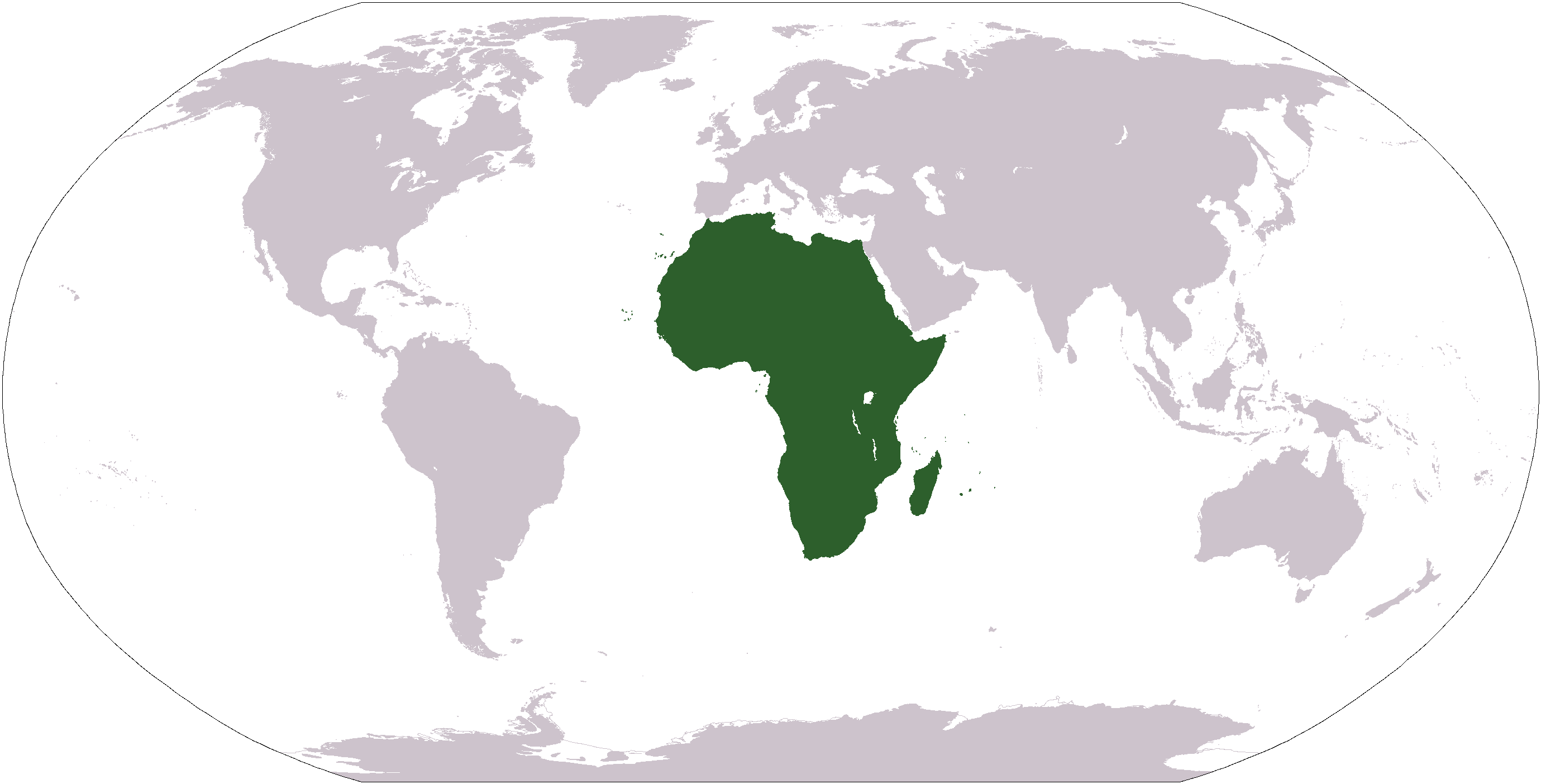
Deutsch: Weltkarte mit Fokus auf Afrika
English: World map depicting Africa
Esperanto: Mondmapo bildiganta Afrikon
Español: Ubicación de África |
| ಆಕರ | map adapted from PDF world map at CIA World Fact Book |
| ಕರ್ತೃ | see above |
| ಇತರೆ ಆವೃತ್ತಿಗಳು | Derivative works of this file: Wikinews Afryka mapa.png |
ಪರವಾನಗಿ
| Public domainPublic domainfalsefalse |
This image is in the public domain because it contains materials that originally came from the United States Central Intelligence Agency's World Factbook.
Bahasa Indonesia ∙ čeština ∙ Deutsch ∙ eesti ∙ English ∙ español ∙ Esperanto ∙ français ∙ galego ∙ hrvatski ∙ italiano ∙ Nederlands ∙ norsk nynorsk ∙ polski ∙ português ∙ sicilianu ∙ slovenščina ∙ suomi ∙ Türkçe ∙ Zazaki ∙ беларуская (тарашкевіца) ∙ македонски ∙ русский ∙ српски / srpski ∙ українська ∙ ქართული ∙ বাংলা ∙ தமிழ் ∙ മലയാളം ∙ 한국어 ∙ 日本語 ∙ 中文 ∙ 中文(简体) ∙ 中文(繁體) ∙ العربية ∙ +/− |
 |
Captions
Add a one-line explanation of what this file represents
African
Afrịka
Afrika në hartën botërore
Items portrayed in this file
depicts ಇಂಗ್ಲಿಷ್
ಕಡತದ ಇತಿಹಾಸ
ದಿನ/ಕಾಲ ಒತ್ತಿದರೆ ಆ ಸಮಯದಲ್ಲಿ ಈ ಕಡತದ ವಸ್ತುಸ್ಥಿತಿ ತೋರುತ್ತದೆ.
| ದಿನ/ಕಾಲ | ಕಿರುನೋಟ | ಆಯಾಮಗಳು | ಬಳಕೆದಾರ | ಟಿಪ್ಪಣಿ | |
|---|---|---|---|---|---|
| ಪ್ರಸಕ್ತ | ೧೮:೦೪, ೧೯ ಜನವರಿ ೨೦೦೮ | | ೨,೭೫೯ × ೧,೪೦೪ (೯೯ KB) | F l a n k e r | Transparency |
| ೧೦:೪೫, ೨೨ ಜನವರಿ ೨೦೦೬ |  | ೨,೭೫೯ × ೧,೪೦೪ (೫೫ KB) | E Pluribus Anthony~commonswiki | Reverted to earlier revision | |
| ೦೪:೧೬, ೧೬ ಜನವರಿ ೨೦೦೬ |  | ೨,೭೫೯ × ೧,೪೦೪ (೮೪ KB) | Huhsunqu | ||
| ೦೦:೫೫, ೪ ನವೆಂಬರ್ ೨೦೦೫ |  | ೨,೭೫೯ × ೧,೪೦೪ (೫೫ KB) | E Pluribus Anthony~commonswiki | World map: Africa (location) | |
| ೦೬:೪೬, ೮ ಅಕ್ಟೋಬರ್ ೨೦೦೫ |  | ೨,೭೫೯ × ೧,೪೦೪ (೫೫ KB) | E Pluribus Anthony~commonswiki | World map: Africa (location) | |
| ೨೧:೨೪, ೨೯ ಏಪ್ರಿಲ್ ೨೦೦೫ |  | ೨೫೦ × ೧೧೬ (೧೧ KB) | Rex | Eerdere versie hersteld | |
| ೨೦:೫೦, ೨೯ ಏಪ್ರಿಲ್ ೨೦೦೫ |  | ೧,೩೮೧ × ೭೦೩ (೧೬ KB) | Ghalas | Corrected version {{PD-USGov-CIA-WF}} | |
| ೨೦:೪೮, ೨೯ ಏಪ್ರಿಲ್ ೨೦೦೫ |  | ೧,೩೮೧ × ೭೦೩ (೧೬ KB) | Ghalas | Corrected version {{PD-USGov-CIA-WF}} | |
| ೨೦:೩೬, ೨೯ ಏಪ್ರಿಲ್ ೨೦೦೫ |  | ೧,೩೭೭ × ೬೯೯ (೧೬ KB) | Ghalas | Extracted from CIA World Factbook PDF world map, then rasterized and colored. {{PD-USGov-CIA-WF}} | |
| ೧೨:೦೯, ೯ ಜನವರಿ ೨೦೦೫ |  | ೨೫೦ × ೧೧೬ (೧೧ KB) | Tobias Conradi~commonswiki | from en:User:Morwen {{GFDL}} |
ಕಡತ ಬಳಕೆ
ಈ ಕೆಳಗಿನ 23 ಪುಟಗಳು ಈ ಚಿತ್ರಕ್ಕೆ ಸಂಪರ್ಕ ಹೊಂದಿವೆ:
- ಅಮೆರಿಕ
- ಅಮೆರಿಕಾ ಸಂಯುಕ್ತ ಸಂಸ್ಥಾನದಲ್ಲಿರುವ ಸ್ಥಳೀಯ (ಮೂಲನಿವಾಸಿ) ಅಮೆರಿಕನ್ನರು
- ಆಫ್ರಿಕಾ
- ಆರ್ಕ್ಟಿಕ
- ಉತ್ತರ ಯುರೋಪ್
- ದಕ್ಷಿಣ ಏಷ್ಯಾ
- ದಕ್ಷಿಣ ಯುರೋಪ್
- ಧ್ರುವ (ಭೂಗೋಳ)
- ಪಶ್ಚಿಮ ಆಫ್ರಿಕಾ
- ಪಶ್ಚಿಮ ಏಷ್ಯಾ
- ಪಶ್ಚಿಮ ಯುರೋಪ್
- ಪೂರ್ವ ಯುರೋಪ್
- ಮಧ್ಯ ಅಮೇರಿಕ
- ಮಧ್ಯ ಏಷ್ಯಾ
- ಮಧ್ಯ ಪ್ರಾಚ್ಯ
- ಮೈಕ್ರೋನೇಷ್ಯಾ
- ಲ್ಯಾಟಿನ್ ಅಮೇರಿಕ
- ಸಂಯುಕ್ತ ರಾಷ್ಟ್ರಗಳ ಭೂವಿಂಗಡನೆ
- ಸೈಬೀರಿಯಾ
- ಸ್ಥಳೀಯ ಜನರು
- ಟೆಂಪ್ಲೇಟು:Indigenous peoples by continent
- ಟೆಂಪ್ಲೇಟು:Regions of the world
- ಟೆಂಪ್ಲೇಟು:ಪ್ರಪಂಚದ ಪ್ರದೇಶಗಳು
ಜಾಗತಿಕ ಕಡತ ಉಪಯೋಗ
ಈ ಕಡತವನ್ನು ಕೆಳಗಿನ ಬೇರೆ ವಿಕಿಗಳೂ ಉಪಯೋಗಿಸುತ್ತಿವೆ:
- am.wikipedia.org ಮೇಲೆ ಬಳಕೆ
- ang.wikipedia.org ಮೇಲೆ ಬಳಕೆ
- arc.wikipedia.org ಮೇಲೆ ಬಳಕೆ
- ar.wikipedia.org ಮೇಲೆ ಬಳಕೆ
- البحر الأبيض المتوسط
- آسيا
- أوروبا
- قارة
- المحيط الهندي
- المحيط الهادئ
- القارة القطبية الجنوبية
- أوقيانوسيا
- أمريكا الشمالية
- أمريكا الجنوبية
- أوروبا الشرقية
- القطب الشمالي
- أوروبا الوسطى
- أوروبا الشمالية
- القوقاز
- شمال إفريقيا
- بوابة:مصر
- بحر
- المنطقة القطبية الجنوبية
- المحيط المتجمد الشمالي
- القرن الإفريقي
- غرب آسيا
- آسيا الوسطى
- جنوب آسيا
- شرق آسيا
- جنوب شرق آسيا
- المحيط المتجمد الجنوبي
- الكاريبي
ಈ ಫೈಲ್ನ ಹೆಚ್ಚು ಜಾಗತಿಕ ಬಳಕೆಯನ್ನು ವೀಕ್ಷಿಸಿ.
"https://kn.wikipedia.org/wiki/ಚಿತ್ರ:LocationAfrica.png" ಇಂದ ಪಡೆಯಲ್ಪಟ್ಟಿದೆ