Loading AI tools
Orahovica (en cyrillique : Ораховица) est un village de Bosnie-Herzégovine. Il est situé dans la municipalité de Lukavac, dans le canton de Tuzla et dans la Fédération de Bosnie-et-Herzégovine. Selon les premiers résultats du recensement bosnien de 2013, il compte 347 habitants[1].
| Orahovica | ||||
| Administration | ||||
|---|---|---|---|---|
| Pays | ||||
| Entité | ||||
| Canton | Tuzla | |||
| Municipalité | Lukavac | |||
| Démographie | ||||
| Population | 347 hab. (2013) | |||
| Géographie | ||||
| Coordonnées | 44° 27′ 39″ nord, 18° 24′ 21″ est | |||
| Altitude | 508 m |
|||
| Localisation | ||||
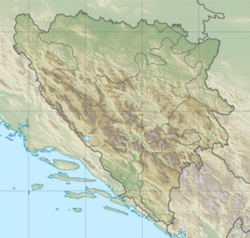
| Géolocalisation sur la carte : Bosnie-Herzégovine
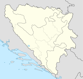
Géolocalisation sur la carte : Bosnie-Herzégovine
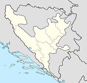
Géolocalisation sur la carte : fédération de Bosnie-et-Herzégovine
| ||||
| modifier |
||||
Évolution historique de la population
 |
Répartition de la population par nationalités (1991)
| Nationalité | Nombre | % |
| Musulmans | 562 | 60,88 |
| Serbes | 344 | 37,26 |
| Yougoslaves | 5 | 0,54 |
| Croates | 1 | 0,10 |
| Inconnus/autres | 11 | 1,19[3] |
Communauté locale
En 1991, la communauté locale d'Orahovica comptait 1 139 habitants, répartis de la manière suivante[4] :
| Nationalité | Nombre | % |
| Musulmans | 756 | 66,37 |
| Serbes | 356 | 31,26 |
| Yougoslaves | 9 | 0,79 |
| Croates | 1 | 0,09 |
| Inconnus/autres | 17 | 1,49 |
Wikiwand in your browser!
Seamless Wikipedia browsing. On steroids.
Every time you click a link to Wikipedia, Wiktionary or Wikiquote in your browser's search results, it will show the modern Wikiwand interface.
Wikiwand extension is a five stars, simple, with minimum permission required to keep your browsing private, safe and transparent.


