Remove ads
Grootegast (/ˈɣroːtəˌɣɑst/ écouter) est une ancienne commune néerlandaise située dans la province de Groningue. Le , elle est supprimée et rattachée à la nouvelle commune de Westerkwartier.
| Grootegast | ||
 Héraldique |
 Drapeau |
|

| ||
| Administration | ||
|---|---|---|
| Pays | ||
| Code postal | 9820-9823, 9860-9869 | |
| Démographie | ||
| Population | 12 143 hab. (2018) | |
| Densité | 138 hab./km2 | |
| Géographie | ||
| Coordonnées | 53° 12′ 33″ nord, 6° 16′ 03″ est | |
| Superficie | 8 778 ha = 87,78 km2 | |
| Histoire | ||
| Fusionnée dans | Westerkwartier, |
|
| Localisation | ||
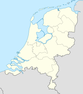
 Carte de localisation de l'ancienne commune. | ||
| Géolocalisation sur la carte : Pays-Bas
| ||
| modifier |
||
La commune était située à l'ouest de Groningue. Elle comprenait les villages de Doezum, Faan, Grootegast, Kornhorn, Lutjegast, Niekerk, Oldekerk, Opende et Sebaldeburen.
Grootegast constitue une commune indépendante avant le , où elle est supprimée et fusionnée avec Leek, Marum et Zuidhorn pour former la nouvelle commune de Westerkwartier[1].
Le , Grootegast comptait 12 143 habitants[2].
Wikiwand in your browser!
Seamless Wikipedia browsing. On steroids.
Every time you click a link to Wikipedia, Wiktionary or Wikiquote in your browser's search results, it will show the modern Wikiwand interface.
Wikiwand extension is a five stars, simple, with minimum permission required to keep your browsing private, safe and transparent.
Remove ads
