Top Qs
Chronologie
Chat
Contexte
District de Sarkand
région du Kazakhstan De Wikipédia, l'encyclopédie libre
Remove ads
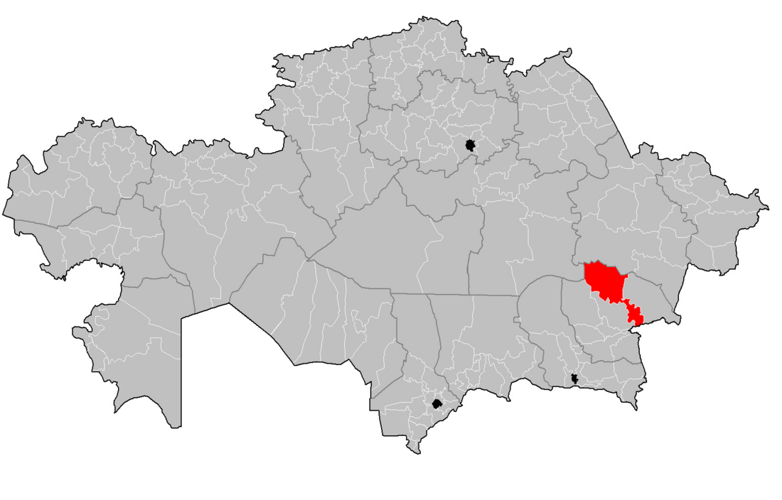
Le district de Sarkand (en kazakh : Сарқан ауданы) est une subdivision administrative située dans l'oblys de Jetyssou au Kazakhstan. Le chef-lieu est Sarkand[1].
Remove ads
Remove ads
Géographie
Le district s'étend sur 24 400 km2 du lac Balkhach au nord-ouest à la frontière chinoise au sud-est.
Histoire
Le district faisait partie de l'oblys d'Almaty avant le , date à laquelle l'oblys de Jetyssou a été créé[2].
Démographie
La population s'élevait à 40 683 habitants en 2013[3].
Notes et références
Liens internes
Wikiwand - on
Seamless Wikipedia browsing. On steroids.
Remove ads

