Wasungen
Town in Thuringia, Germany From Wikipedia, the free encyclopedia
Wasungen (German pronunciation: [ˈvaːzʊŋən] ⓘ) is a town in the Schmalkalden-Meiningen district, in Thuringia, Germany. It is situated on the river Werra, 11 km north of Meiningen. The former municipalities Hümpfershausen, Metzels, Oepfershausen, Unterkatz and Wahns were merged into Wasungen in January 2019.
Wasungen | |
|---|---|
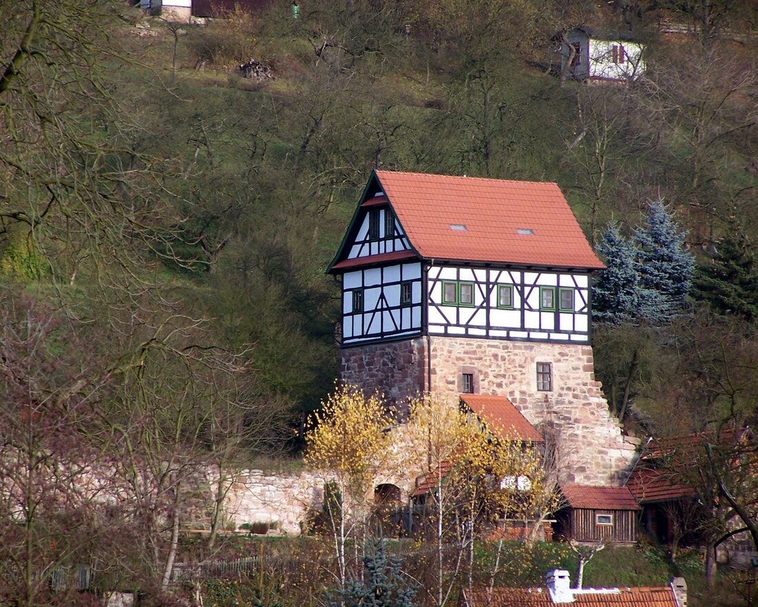
 Pfaffenburg | |
Location of Wasungen within Schmalkalden-Meiningen district  | |
| Coordinates: 50°40′N 10°22′E | |
| Country | Germany |
| State | Thuringia |
| District | Schmalkalden-Meiningen |
| Municipal assoc. | Wasungen-Amt Sand |
| Government | |
| • Mayor (2022–28) | Thomas Kästner[1] |
| Area | |
• Total | 89.09 km2 (34.40 sq mi) |
| Elevation | 270 m (890 ft) |
| Population (2022-12-31)[2] | |
• Total | 5,437 |
| • Density | 61/km2 (160/sq mi) |
| Time zone | UTC+01:00 (CET) |
| • Summer (DST) | UTC+02:00 (CEST) |
| Postal codes | 98634 |
| Dialling codes | 036941 |
| Vehicle registration | SM |
| Website | www.wasungen.de |
The Pfaffenburg was built in 1378 and reconstructed in 1974.
References
Wikiwand - on
Seamless Wikipedia browsing. On steroids.


