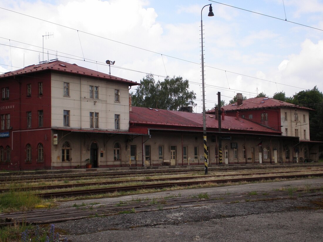
Vojtanov

Municipality in Karlovy Vary, Czech Republic From Wikipedia, the free encyclopedia

Vojtanovmap

Vojtanov (German: Voitersreuth) is a municipality and village in Cheb District in the Karlovy Vary Region of the Czech Republic. It has about 200 inhabitants.

Quick Facts Country, Region ...
Vojtanov
Thumb
Train station
Thumb
Thumb
Thumb
Vojtanov
Location in the Czech Republic
Coordinates: 50°10′6″N 12°19′3″E
Country Czech Republic
RegionKarlovy Vary
DistrictCheb
First mentioned1299
Area
  Total
10.19 km2 (3.93 sq mi)
Elevation
518 m (1,699 ft)
Population
 (2024-01-01)[1]
  Total
248
  Density24/km2 (63/sq mi)
Time zoneUTC+1 (CET)
  Summer (DST)UTC+2 (CEST)
Postal codes
350 02, 351 34
Websitewww.vojtanov.cz
Close

Administrative division

Vojtanov consists of four municipal parts (in brackets population according to the 2021 census):[2]

  • Vojtanov (192)
  • Antonínova Výšina (6)
  • Mýtinka (14)
  • Zelený Háj (9)

Demographics

More information Year, Pop. ...
Historical population
YearPop.±%
1869684    
1880820+19.9%
1890701−14.5%
1900647−7.7%
1910770+19.0%
1921757−1.7%
1930745−1.6%
1950266−64.3%
1961329+23.7%
1970282−14.3%
1980235−16.7%
1991170−27.7%
2001192+12.9%
2011203+5.7%
2021221+8.9%
Source: Censuses[3][4]
Close

References

Loading related searches...

Wikiwand - on

Seamless Wikipedia browsing. On steroids.