Togiak River
River in Alaska, United States From Wikipedia, the free encyclopedia
Togiak River (Yup'ik: Tuyuryaq) is a stream, 48-mile (77 km) long, in the southwestern part of the U.S. state of Alaska.[3] It begins at Togiak Lake in the Togiak Wilderness and flows southwest to Togiak Bay, 2 miles (3.2 km) east of Togiak.[1]
This article needs additional citations for verification. (January 2016) |
| Togiak River | |
|---|---|
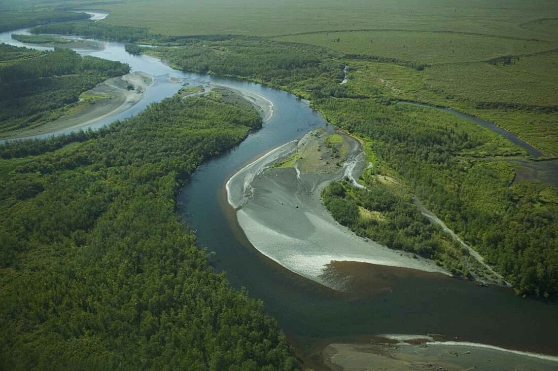
 Meandering Togiak River. | |
| Native name | Tuyuryaq (Central Yupik) |
| Location | |
| Country | United States |
| State | Alaska |
| Census Area | Dillingham |
| Physical characteristics | |
| Source | Togiak Lake |
| • location | Wood River Mountains, Togiak National Wildlife Refuge |
| • coordinates | 59°32′07″N 159°41′11″W[1] |
| • elevation | 221 ft (67 m)[2] |
| Mouth | Togiak Bay |
• location | 2 miles (3.2 km) east of Togiak |
• coordinates | 59°04′23″N 160°20′05″W[1] |
• elevation | 0 ft (0 m)[1] |
| Length | 48 mi (77 km)[3] |
Large catches of salmon are landed during the summer at the commercial cannery in Togiak, and the fishery is also very important for subsistence harvesting by the local Alaska Natives.
The Togiak is a popular and productive river for sport fishing, producing very good catches of all five species of Pacific salmon. Dolly Varden char and rainbow trout are also present, and sport fishing is a substantial contributor to the local economy.
The river itself is very scenic, especially in the upper wilderness area, flanked by hills and distant mountains. Float trips are becoming increasingly popular, with excellent chances of observing wildlife including brown bears, caribou, moose, eagles and beaver.
See also
References
External links
Wikiwand - on
Seamless Wikipedia browsing. On steroids.

