Thap Than district
District in Uthai Thani, Thailand From Wikipedia, the free encyclopedia
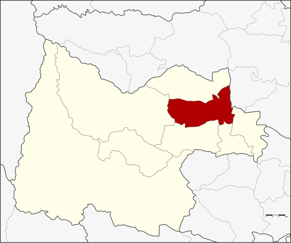
Thap Than (Thai: ทัพทัน, pronounced [tʰáp tʰān]) is a district (amphoe) in the northern part of Uthai Thani province, northern Thailand.
Thap Than
ทัพทัน | |
|---|---|
 District location in Uthai Thani province | |
| Coordinates: 15°27′35″N 99°53′12″E | |
| Country | Thailand |
| Province | Uthai Thani |
| Area | |
• Total | 323.633 km2 (124.955 sq mi) |
| Population (2008) | |
• Total | 38,631 |
| • Density | 119.3/km2 (309/sq mi) |
| Time zone | UTC+7 (ICT) |
| Postal code | 61120 |
| Geocode | 6102 |
History
In a Siamese-Burmese war of Ayutthaya era, the troops of Ayutthaya followed the Burmese troops and overtook them in the area of the district. They fought and the Siamese troops won. The people named the area Ban Thap Than.
In 1906 the district was renamed from Nong Kradi to Thap Than.[1]
In 1917, Thap Than district was added to Uthai Thani Province.[citation needed]
Geography
Neighboring districts are (from the southeast clockwise) Mueang Uthai Thani, Nong Khayang, Nong Chang, Lan Sak, and Sawang Arom of Uthai Thani Province; Krok Phra of Nakhon Sawan province.
Administration
The district is divided into 10 sub-districts (tambons), which are further subdivided into 90 villages (mubans). The sub-district municipality (thesaban tambon), Thap Than, covers tambons Thap Than, Thung Na Thai, Khao Khi Foi, and Nong Ya Plong. The sub-district municipality Taluk Du covers the tambon Taluk Du. There are a further five tambon administrative organizations (TAO).
| No. | Name | Thai | Villages | Pop.[2] |
|---|---|---|---|---|
| 1. | Thap Than | ทัพทัน | 8 | 4,533 |
| 2. | Thung Na Thai | ทุ่งนาไทย | 7 | 1,587 |
| 3. | Khao Khi Foi | เขาขี้ฝอย | 6 | 1,340 |
| 4. | Nong Ya Plong | หนองหญ้าปล้อง | 6 | 1,687 |
| 5. | Khok Mo | โคกหม้อ | 5 | 2,312 |
| 6. | Nong Yai Da | หนองยายดา | 8 | 3,126 |
| 7. | Nong Klang Dong | หนองกลางดง | 11 | 3,051 |
| 8. | Nong Krathum | หนองกระทุ่ม | 15 | 7,240 |
| 9. | Nong Sa | หนองสระ | 7 | 2,124 |
| 10. | Taluk Du | ตลุกดู่ | 17 | 11,631 |
References
External links
Wikiwand - on
Seamless Wikipedia browsing. On steroids.
