Teuva
Municipality in South Ostrobothnia, Finland From Wikipedia, the free encyclopedia
Teuva (Swedish: Östermark) is a municipality of Finland.
Teuva
Östermark | |
|---|---|
Municipality | |
| Teuvan kunta Östermarks kommun | |
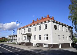
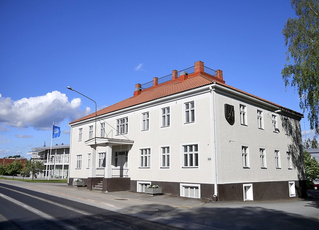
 Municipal office | |
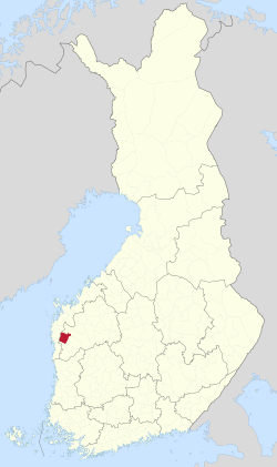
 Location of Teuva in Finland | |
| Coordinates: 62°29′10″N 21°44′50″E | |
| Country | Finland |
| Region | South Ostrobothnia |
| Sub-region | Suupohja |
| Charter | 1868 |
| Government | |
| • Municipal manager | Veli Nummela |
| Area (2018-01-01)[1] | |
• Total | 556.05 km2 (214.69 sq mi) |
| • Land | 554.73 km2 (214.18 sq mi) |
| • Water | 1.35 km2 (0.52 sq mi) |
| • Rank | 154th largest in Finland |
| Population (2024-12-31)[2] | |
• Total | 4,662 |
| • Rank | 173rd largest in Finland |
| • Density | 8.4/km2 (22/sq mi) |
| Population by native language | |
| • Finnish | 96.6% (official) |
| • Swedish | 0.7% |
| • Others | 2.7% |
| Population by age | |
| • 0 to 14 | 14.1% |
| • 15 to 64 | 51.6% |
| • 65 or older | 34.3% |
| Time zone | UTC+02:00 (EET) |
| • Summer (DST) | UTC+03:00 (EEST) |
| Website | www.teuva.fi |
It is located in the South Ostrobothnia region. The population of Teuva is 4,662 (31 December 2024)[2] and the municipality covers an area of 554.73 km2 (214.18 sq mi) of which 1.35 km2 (0.52 sq mi) is inland water (1 January 2018).[1] The population density is 8.4/km2 (22/sq mi).
The municipality is unilingually Finnish.
History
In August 2010, more than fifty pocket-sized saunas were gathered on a lakeside within Teuva for the fifth annual Mobile Sauna Festival. Some six-thousand visitors attended the festival, doubling the population of Teuva for the weekend.[5][6]
Villages
Notable individuals
- Antti Rajamäki, sprinter
- Aulis Ranta-Muotio, politician
- Elonkerjuu, rock band
- Helge Saarikoski, politician and Member of Parliament
- Jorma Mattinen, professor and rector at the Åbo Akademi University from 2005 to 2014
- Jukka Rauhala, Olympic wrestler
- Lauri Ingman, theologian, bishop, politician and twice Prime Minister of Finland
- Mirjam Tuokkola, archer
- Nicole, a band
- Oiva Ketonen, philosopher, writer, academic and professor
- Otto Syreeni, businessman
- Pauli Nevala, javelin thrower
- Severi Savonen, professor
- Simo Korpela, poet and priest
- Roppal, also known as Riskipiiku, professional Osu! player
References
External links
Wikiwand - on
Seamless Wikipedia browsing. On steroids.

