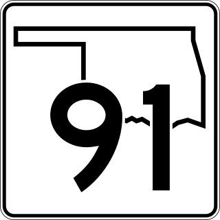
Oklahoma State Highway 91
State highway in Oklahoma, United States From Wikipedia, the free encyclopedia
State Highway 91 (abbreviated SH-91 or OK-91) is a state highway in the U.S. state of Oklahoma. It runs for 13.58 miles (21.85 km), entirely within Bryan County. SH-91 has no lettered spur routes.
 | ||||
| Route information | ||||
| Maintained by ODOT | ||||
| Length | 13.58 mi[1] (21.85 km) | |||
| Major junctions | ||||
| West end | SH 91 south of Cartwright | |||
| East end | SH-78 in Achille | |||
| Location | ||||
| Country | United States | |||
| State | Oklahoma | |||
| Highway system | ||||
| ||||
| ||||
Route description
SH-91 begins at Denison Dam at Lake Texoma, connecting to Texas State Highway 91 and heading north. Shortly after reaching the shore it turns east to run through Cartwright. It then has an interchange with US-69 / US-75 near Colbert. SH-91 then ends at SH-78 in Achille.
History
SH-91 was originally State Highway 75A, but was renumbered as a continuation of SH 91 in Texas.[2]
Junction list
References
External links
Wikiwand - on
Seamless Wikipedia browsing. On steroids.

