Southern District (Israel)
District of Israel From Wikipedia, the free encyclopedia
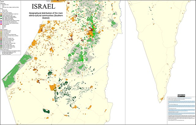
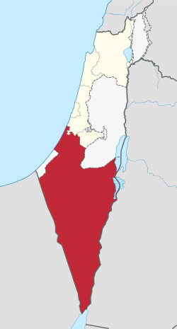
The Southern District (Hebrew: מחוז הדרום, Meḥoz HaDarom; Arabic: لواء الجنوب) is one of Israel's six administrative districts, the largest in terms of land area but the most sparsely populated. It covers most of the Negev desert, as well as the Arava valley. The population of the Southern District is 1,086,240 and its area is 14,185 km2. Its population is 79.66% Jewish and 12.72% Arab (mostly Muslim), with 7.62% of other origins.[4]

South District | |
|---|---|
| - transcription(s) | |
| • Hebrew | מחוז הדרום |
| • Arabic | لواء الجنوب |
 | |
| Cities | 12 |
| Local councils | 11 |
| Regional councils | 15 |
| Capital | Beersheba |
| Largest city | Ashdod |
| Government | |
| • District Commissioner[1] | Lily Feintoch[2] |
| Area | |
• Total | 14,185 km2 (5,477 sq mi) |
| Population (2023)[3] | |
• Total | 1,362,500 |
| • Density | 96/km2 (250/sq mi) |
| ISO 3166 code | IL-D |

The district capital is Beersheba, while the largest city is Ashdod. Beersheba's dormitory towns of Omer, Meitar, and Lehavim are affluent on an Israel scale, while the development towns of Dimona, Sderot, Netivot, Ofakim, and Yeruham and the seven Bedouin cities are lower on the socio-economic scale.[6]
Administrative local authorities
| Subdistricts | ||
|---|---|---|
| Cities | Local Councils | Regional Councils |
Some villages do not fall under the jurisdiction of a regional council. These include:
- Mahane Yatir
- Umm al-Hiran (unrecognised Bedouin village)
See also
References
Wikiwand - on
Seamless Wikipedia browsing. On steroids.
