Top Qs
Timeline
Chat
Perspective
South Mountain State Park
State park in Maryland, United States From Wikipedia, the free encyclopedia
Remove ads
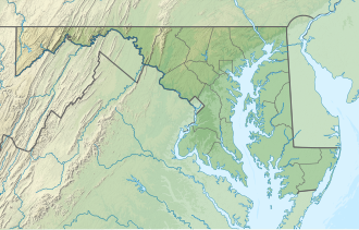
South Mountain State Park is a public recreation area that runs for nearly the entire length of South Mountain through Washington and Frederick counties in Maryland.[3] The state park is contiguous with several other national, state and local parks on the mountain, including the Chesapeake and Ohio Canal National Historical Park, Gathland State Park, Washington Monument State Park, Greenbrier State Park and Pen Mar County Park.
Remove ads
Remove ads
Features
Maryland's 40-mile (64 km) section of the Appalachian Trail traverses the length of the park,[4] offering access to scenic overlooks that include High Rock, Black Rock, Annapolis Rock, White Rocks, and Weverton Cliffs.[5] The park also contains part of the South Mountain Battlefield.[6] Camping is permitted at shelters and backpackers campgrounds off the AT.[3] The park also has two hunting areas: Black Rock Hunting Lands and Lambs Knoll Hunting Lands.[5]
Remove ads
Gallery

References
External links
Wikiwand - on
Seamless Wikipedia browsing. On steroids.
Remove ads


