Top Qs
Timeline
Chat
Perspective
Sierra Baguales
Mountain range in Chile From Wikipedia, the free encyclopedia
Remove ads
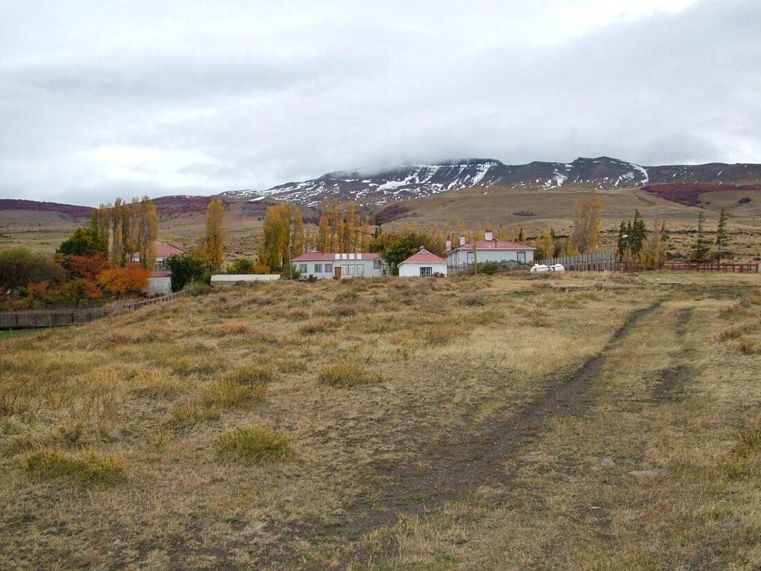
Sierra Baguales or Sierra de los Baguales is a mountain range in the southernmost Andes. Sierra Baguales is a 60 kilometres (37 mi) long east–west chain, secondary to the main chain of the Andes that lie further west.[1][2] It lies along the border between Chile and Argentina near the localities of Puerto Natales and Río Turbio.
Remove ads
Geology
Summarize
Perspective
The mountain range contains a series of cirques formed by glaciers.[2] Many cirques developed in the Pleistocene Epoch from isolated glaciers that existed separedly from ice sheets further west.[2] The rocks of Sierra Baguales belong to various formations of Magallanes Basin.[3] These rocks contain fossils of plants, mammals and marine invertebrates.[3]
Stratigraphy
From top to bottom the following formations make up Sierra Baguales:[3]
- Santa Cruz Formation, sedimentary rocks belonging to a non-marine succession and hosting many vertebrate fossils[4]
- Estancia 25 de Mayo Formation, a succession of fossil-bearing sedimentary rocks that date to the Early Miocene. Sediments were deposited in a marine environment.
- La Cumbre Formation, an olivine-bearing gabbro sill
- Río Leona Formation, a succession of non-marine fossils, some of which contain Nothofagus fossils
- Bandurrías Formation, an olivine-bearing gabbro sill
- Loreto Formation, sedimentary rocks variously assigned a Late Eocene to Early Miocene age. Contains fossil shark teeth.
On the eastern slopes of Sierra Baguales various lithic artifacts have been found.[1] Human occupation of eastern foothills begun no later than 4,500 years before present.[1]
Remove ads
References
Wikiwand - on
Seamless Wikipedia browsing. On steroids.
Remove ads


