Top Qs
Timeline
Chat
Perspective
Ponor Saddle
Geographical feature of Antarctica From Wikipedia, the free encyclopedia
Remove ads
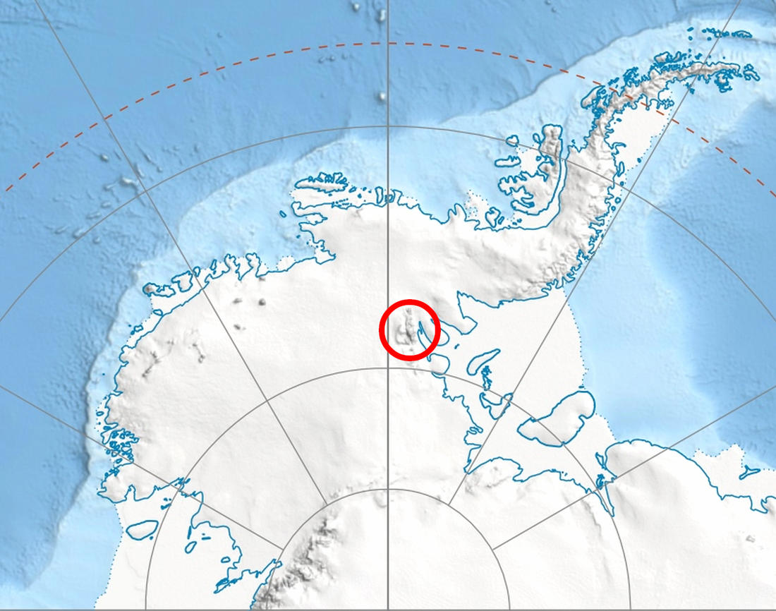
Ponor Saddle (Bulgarian: седловина Понор, ‘Sedlovina Ponor’ \se-dlo-vi-'na po-'nor\) is the 1.6 km long ice-covered flat saddle of elevation 2340 m[1] linking Mount Allen and Mount Liptak in southern Sentinel Range, Ellsworth Mountains of Antarctica. It is part of the glacial divide between Bolgrad Glacier and Kornicker Glacier.


The feature is named after the settlement of Ponor in western Bulgaria.
Remove ads
Location
The midpoint of Ponor Saddle is located at 78°43′00″S 84°58′00″W, which is 1.44 km north of Mount Liptak, 4 km east-southeast of Krusha Peak, and 2.38 km south-southeast of Mount Allen, according to US mapping in 1988.
Remove ads
Maps
- Vinson Massif. Scale 1:250000 topographic map. Reston, Virginia: US Geological Survey, 1988.
Notes
References
External links
Wikiwand - on
Seamless Wikipedia browsing. On steroids.
Remove ads
