Pond Branch (Dan River tributary)
Stream in Virginia, USA From Wikipedia, the free encyclopedia
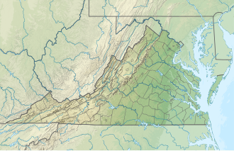
Pond Branch is a 1.67 mi (2.69 km) long 1st order tributary to the Dan River in Halifax County, Virginia.[citation needed]
| Pond Branch Tributary to Dan River | |
|---|---|
| Location | |
| Country | United States |
| State | Virginia |
| County | Halifax |
| Physical characteristics | |
| Source | Toots Creek divide |
| • location | about 2 miles southwest of Centerville, Virginia |
| • coordinates | 36°42′56″N 078°56′16″W[1] |
| • elevation | 485 ft (148 m)[2] |
| Mouth | |
• location | about 0.5 miles southwest of South Boston, Virginia |
• coordinates | 36°41′06″N 078°55′43″W[3] |
• elevation | 320 ft (98 m)[3] |
| Length | 1.67 mi (2.69 km)[4] |
| Basin size | 3.16 square miles (8.2 km2)[5] |
| Discharge | |
| • location | Dan River |
| • average | 2.15 cu ft/s (0.061 m3/s) at mouth with Dan River[5] |
| Basin features | |
| Progression | Dan River → Roanoke River → Albemarle Sound → Pamlico Sound → Atlantic Ocean |
| River system | Roanoke River |
| Tributaries | |
| • left | unnamed tributaries |
| • right | unnamed tributaries |
| Bridges | Berry Hill Road |
Course
Pond Branch rises about 2 miles southwest of Centerville, Virginia, and then flows generally southeast to join the Dan River about 0.5 miles southwest of South Boston.[3]
Watershed
Pond Branch drains 3.16 square miles (8.2 km2) of area, receives about 45.6 in/year of precipitation, has a wetness index of 421.49, and is about 65% forested.[5]
See also
References
Watershed Maps
Wikiwand - on
Seamless Wikipedia browsing. On steroids.

