Top Qs
Timeline
Chat
Perspective
Pampas, Peru
Place in Huancavelica, Peru From Wikipedia, the free encyclopedia

Remove ads
You can help expand this article with text translated from the corresponding article in Spanish. (February 2009) Click [show] for important translation instructions.
|


Pampas is a city in Peru. It is the capital of the Tayacaja Province and it was established on June 21, 1825. According to the 2007 census had a population of 9,973 (11,566 in the metropolitan area).[1] It has an approximate altitude of 3,276 metres.
Remove ads
Transportation
The city is connected to the nearby cities like Huancayo and Ayacucho by partially paved roads.[citation needed]
Education
The city house a branch of the Universidad Nacional de Huancavelica and it is home of a local technical institute; the Instituto Tecnologico Pampas - Tayacaja.[citation needed]
Health
The city has now a new hospital, the Hospital Pampas that serve the city and the towns nearby.[citation needed]
Images
 A house in Pampas.
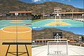 Futsal court in Pampas.
 Slide in the "Parque Ecolgico de Pampas".
 Gardens in the "Parque Ecolgico de Pampas".
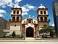 Cathedral of San Pedro de Pampas.
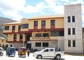 Municipality of Pampas.
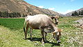 A cow in Pampas.
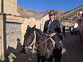 Pampino.


References
External links
Wikiwand - on
Seamless Wikipedia browsing. On steroids.
Remove ads