Ospel
Village in Limburg, Netherlands From Wikipedia, the free encyclopedia
Ospel is a village in the Netherlands. It is located in Limburg near Weert, lying between Nederweert and Meijel, close to National Park De Groote Peel. Ospel has been settled since 1864 as a centre for bog harvesting. Once a year in the first weekend of May it is the centre for blues fans; the Moulin Blues Festival attracts thousands of blues fans from all over Europe. At the end of June is Ospel's kermis - a great time to visit with a lot of live music and a great atmosphere.
Ospel | |
|---|---|
Village | |
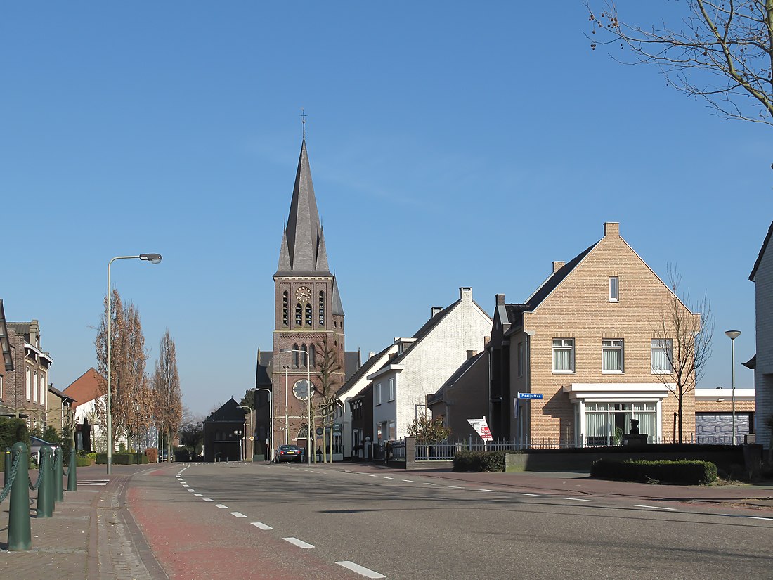
 Ospel, church in the street | |
| Coordinates: 51°17′52″N 5°47′8″E | |
| Country | Netherlands |
| Province | Limburg |
| Municipality | Nederweert |
| Area | |
• Total | 1.59 km2 (0.61 sq mi) |
| Elevation | 32 m (105 ft) |
| Population (2021)[1] | |
• Total | 2,600 |
| • Density | 1,600/km2 (4,200/sq mi) |
| Time zone | UTC+1 (CET) |
| • Summer (DST) | UTC+2 (CEST) |
| Postal code | 6035[1] |
| Dialing code | 0495 |
| Website | www.nederweert.nl |
Schooling
Ospel has a primary school. Ospel does not have a high school. Teenagers are required to attend schools in nearby cities, such as Weert, 8.50 kilometres (5.28 mi) from Ospel.
Nearby cities
- Eindhoven is the closest city with more than 100,000 citizens (207,005, Google Earth, January 2008) at 26.3 kilometres (16.3 mi).
- Roermond is the closest city with more than 50,000 citizens (82,402, Google Earth, January 2008) at 22.8 kilometres (14.2 mi).
- Weert is the closest city with more than 30,000 citizens (47,699, Google Earth, January 2008) at 7.2 kilometres (4.5 mi).
Gallery
- Shetland ponies in the Peel
- Farm in Ospel
- A bench called Linda
References
Wikiwand - on
Seamless Wikipedia browsing. On steroids.


