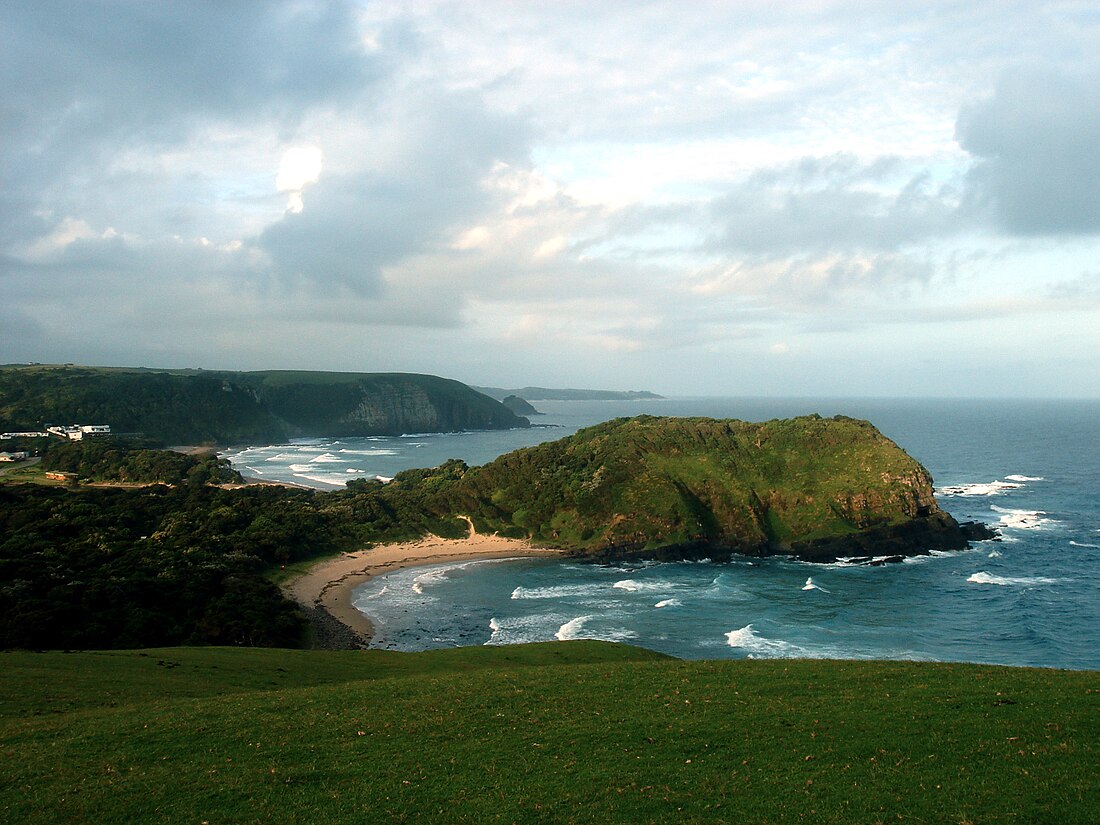
Mthatha River
River in the Eastern Cape, South Africa From Wikipedia, the free encyclopedia
Mthatha River or Umtata River (Xhosa: 'mtathe Bawo) is a river in the Eastern Cape Province in South Africa. The river flows into the Indian Ocean in an estuary located near Coffee Bay. The Mthatha river flows in a southeastern direction and is approximately 250 km long with a catchment area of 2,600 km2. Mthatha Town (Umtata) is named after it.[2][3]
| Mthatha River Umtata River | |
|---|---|
 close to where the Mthatha River meets the Indian Ocean | |
| Etymology | Sneeze-wood trees (Ptaeroxylon obliquum) growing on the banks of the river[1] |
| Native name | 'mtathe Bawo (Xhosa) |
| Location | |
| Country | South Africa |
| Province | Eastern Cape Province |
| Physical characteristics | |
| Source | |
| • location | Baziya Range, Eastern Cape, South Africa |
| • elevation | 1,500 m (4,900 ft) |
| Mouth | Indian Ocean |
• location | Coffee Bay, South Africa |
• coordinates | 31°56′S 29°11′E |
• elevation | 0 m (0 ft) |
| Length | 250 km (160 mi) |
| Basin size | 2,600 km2 (1,000 sq mi) |
Its main tributaries are the Ngqungqu River and the Cicira River.[4]
The Mthatha River marks the southern limit of the Pondoland region.[5]
Dams
Presently this river is part of the Mzimvubu to Keiskamma Water Management Area.[6]
- Mthatha Dam
- Mabeleni Dam
See also
References
External links
Wikiwand - on
Seamless Wikipedia browsing. On steroids.

