Top Qs
Timeline
Chat
Perspective
Mount Kusatsu-Shirane
Stratovolcano on the island of Honshu, Japan From Wikipedia, the free encyclopedia
Remove ads
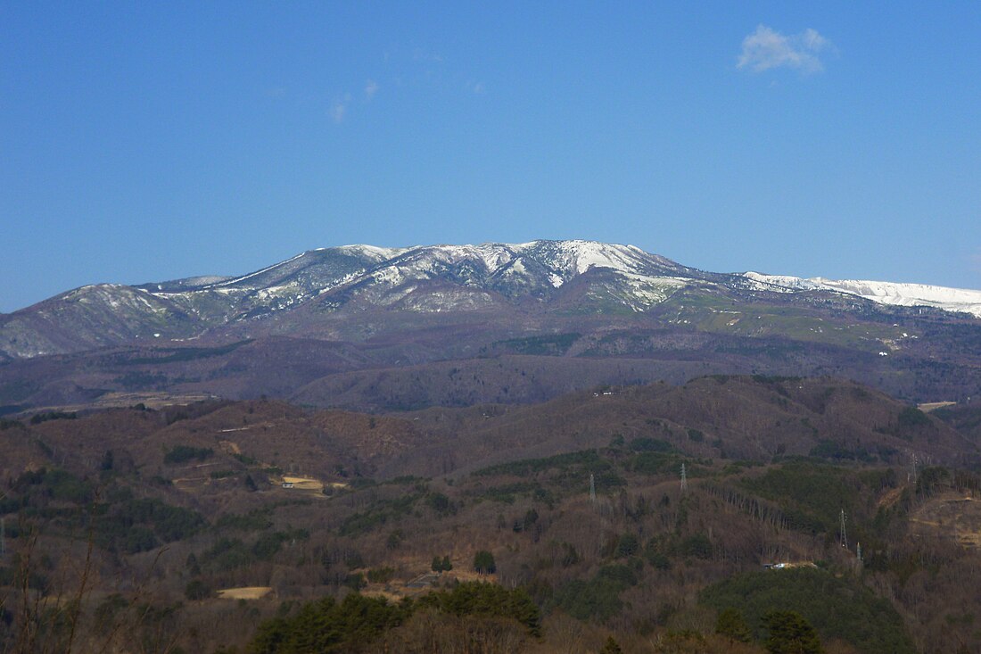
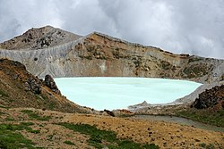
Mount Kusatsu-Shirane (草津白根山, Kusatsu Shirane-san) is a 2,165 m (7,103 ft) active stratovolcano in Kusatsu, Gunma, Japan.[2] It is called Kusatsu Shirane to differentiate it from the Mount Nikkō-Shirane on the other side of Gunma Prefecture. The summit of Kusatsu-Shirane volcano, located immediately north of Asama volcano, consists of a series of overlapping pyroclastic cones and three crater lakes. The largest of these is Yu-gama, an acidic emerald green lake with rafts of yellow sulfur sometimes seen floating on its surface.[3][4]
Remove ads
On January 23, 2018, a minor phreatic eruption of the volcano occurred.[5] One person was killed, and others were injured in an avalanche triggered by the eruption.[6] The next day, new activity forced police to suspend search operations.[7] One month after the eruption, it was announced by prefectural officials that only the summit of the volcano was off limits to the public.[8]
- Relief map of Kusatsu-Shirane Volcano
- Yugama crater
Remove ads
See also
References
External links
Wikiwand - on
Seamless Wikipedia browsing. On steroids.
Remove ads


